Des beaux paysages


Outdoor activity description from Aydat
Automatically translated
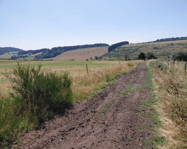
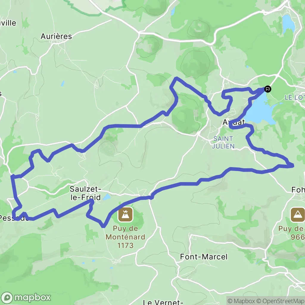
From the parking lot near the Aydat treetop adventure park, start by mountain bike to the Pessade cross-country ski resort, with a return towards the Zanière menhir, all on very pleasant paths.
To better prepare yourself
Our current selection
 Assortment of energy fruit jellies, x12
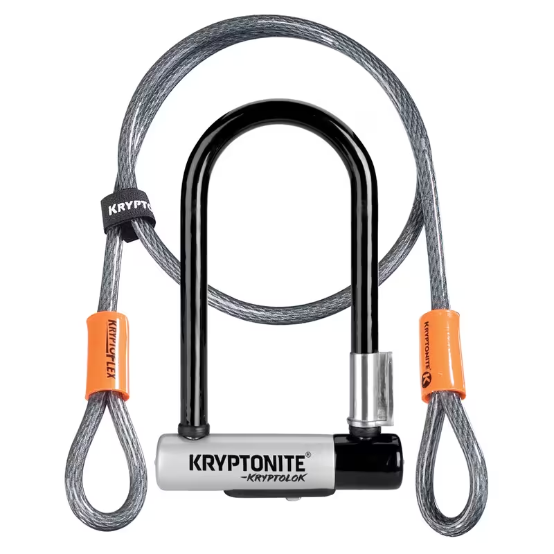 Kryptonite KryptoLok D Lock with 4 foot Krytoflex cable - Sold Secure Gold
 GO ISOTONIC ENERGY GELS - 7 x 60ml
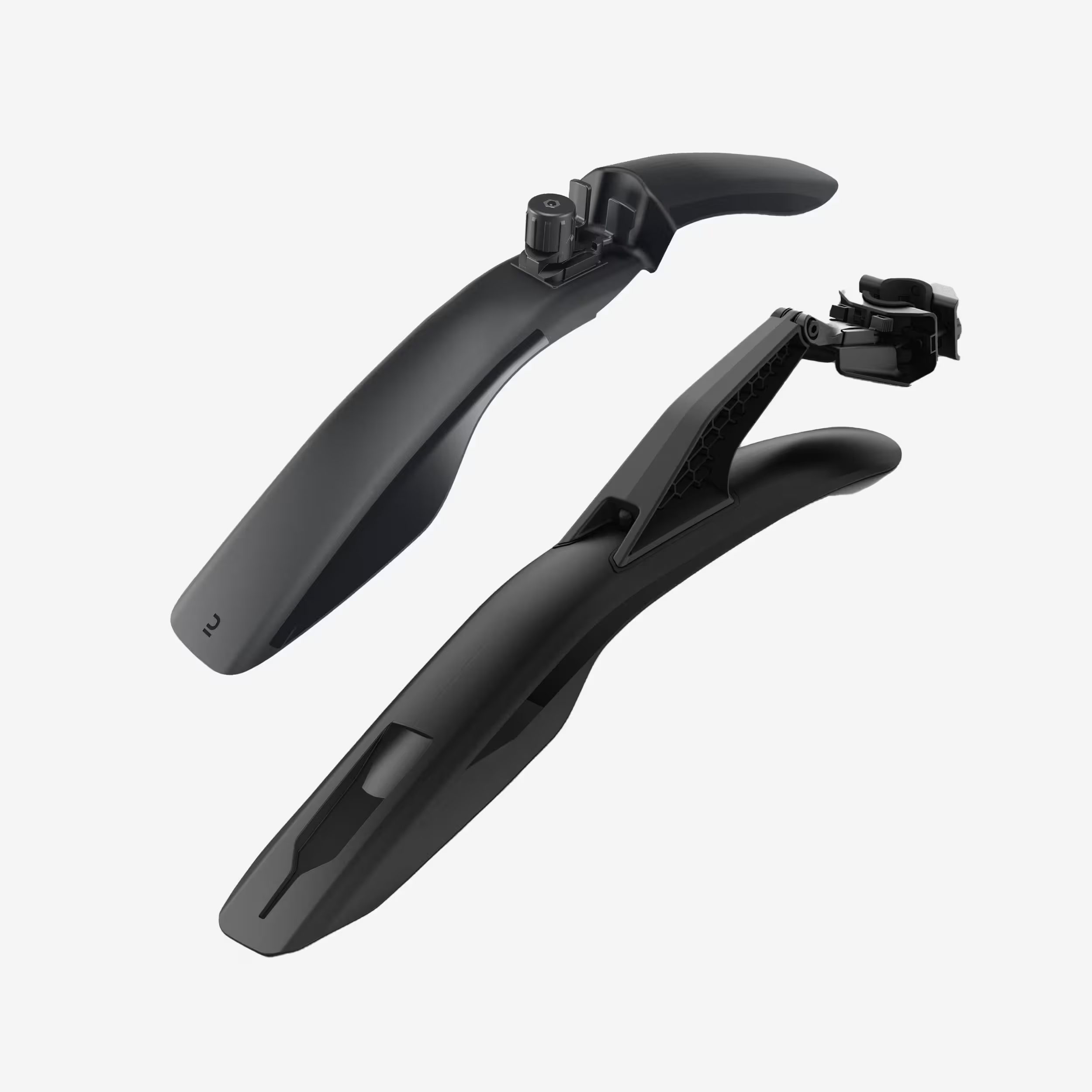 26" - 27.5" - 29" Front/Rear Rigid Mountain Bike Mudguard Kit V3 - Black
 Men's Bibless Road Cycling Shorts, Endurance, EDR-Black
 Bike Maintenance and Cleaning Kit
Outdoor activity details
Bicycles for rent
 Electric
MOUSTACHE TRAIL 7
Starting from€59 Electric
SCOTT SOLACE ERIDE 30 S
Starting from€69 Electric
Dimanche 29 Gravel 2 Flat Bar OPEN S (1,53 -1,68m)
Starting from€69 Electric
Dimanche 29 Gravel 2 DropBar M
Starting from€69 Electric
MOUSTACHE GAME 160.8 Taille M : de 1,68m à 1,85m
Starting from€79 Electric
MOUSTACHE CLUTCH 160.8 Taille M : de 1,68m à 1,85m
Starting from€79 Electric
MOUSTACHE WIDE 3 Taille M : de 1,68m à 1,85m
Starting from€59 Electric
SAMEDI 28.3 OPEN
Starting from€39
Start activity from Aydat
184 Boulevard du Lac
Other outdoor activities nearby
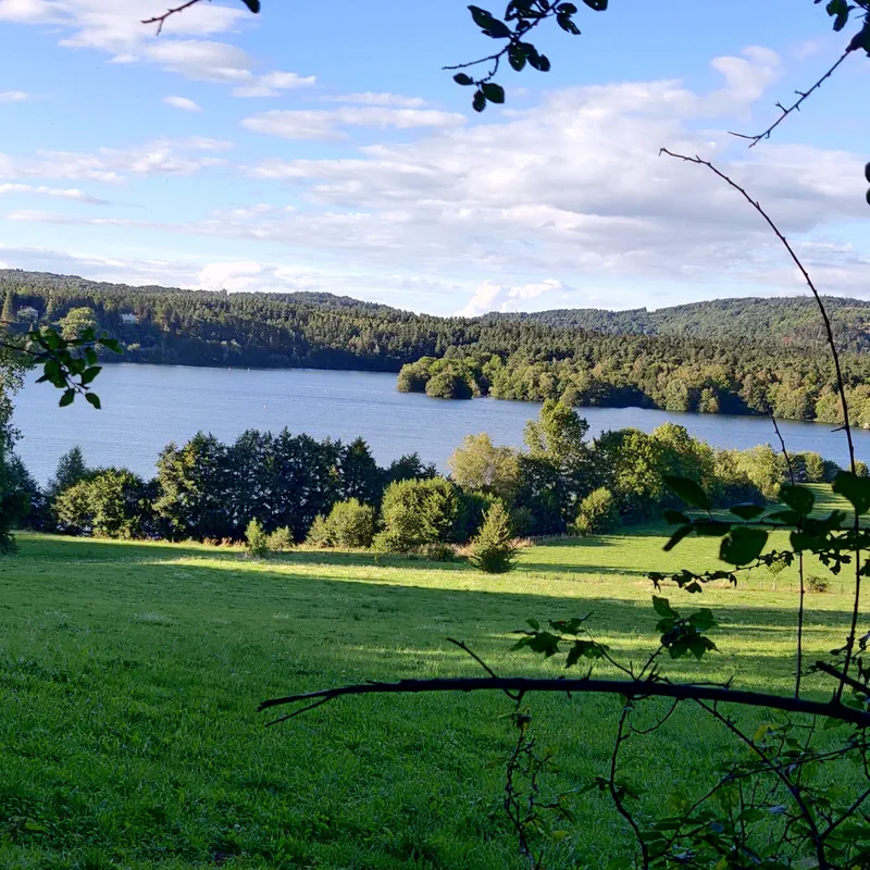
Loop outing to Lake Aydat to Pessade
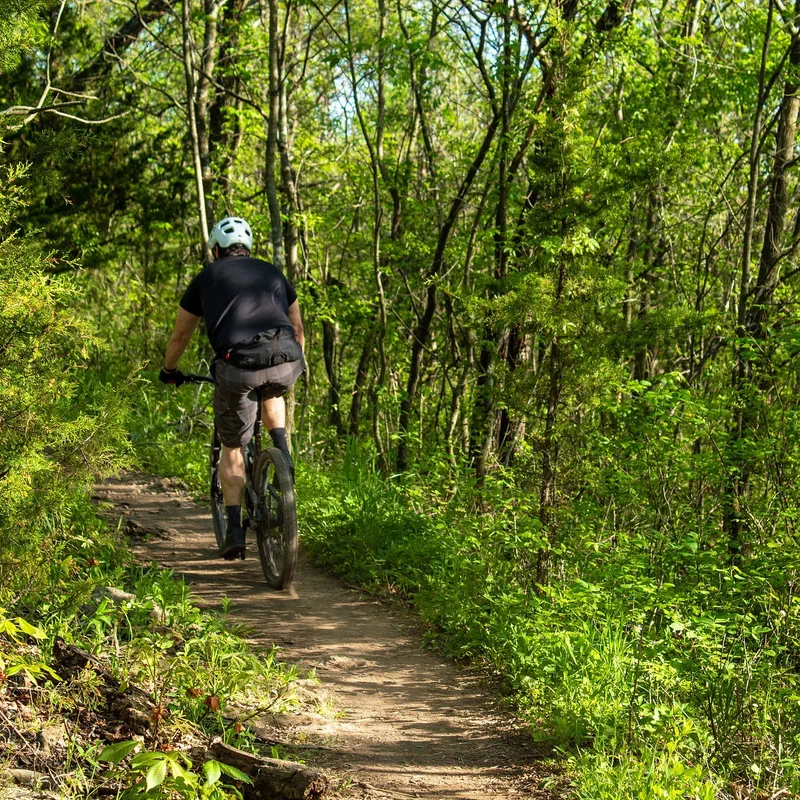
Lake tour from Sauteyras
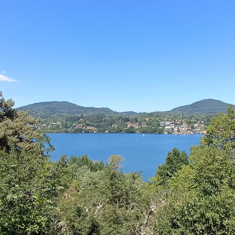
Lake Aydat from Rouillas-Bas
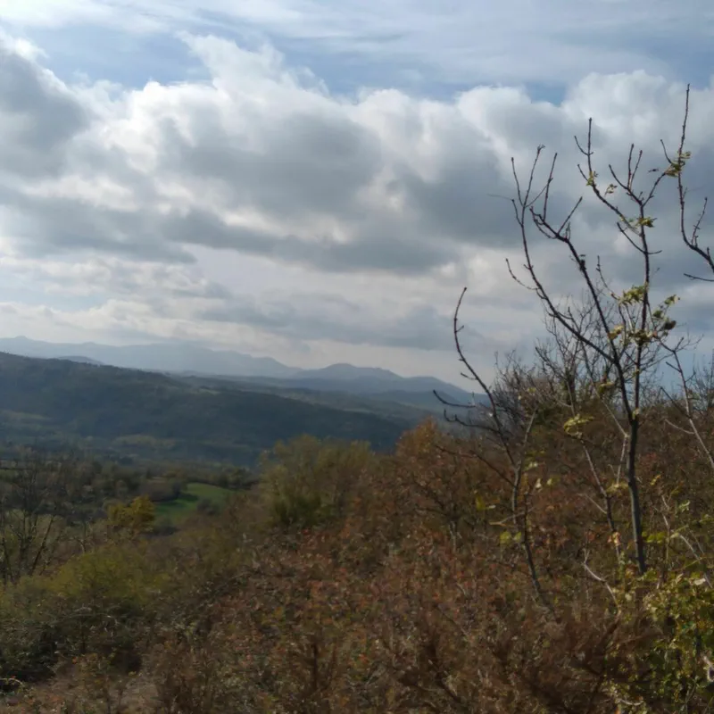
Exploring Rouillat-Bas and Montagne de la Serre by mountain bike
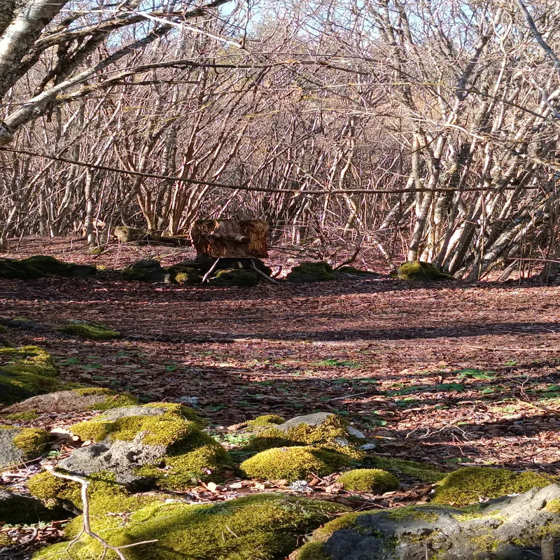
Around Fonfreyde
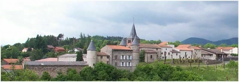
The vast municipality of St-Genès-Champanelle
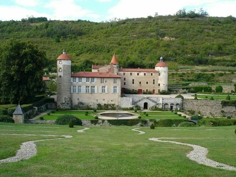
The valley of the municipality of Chanonat
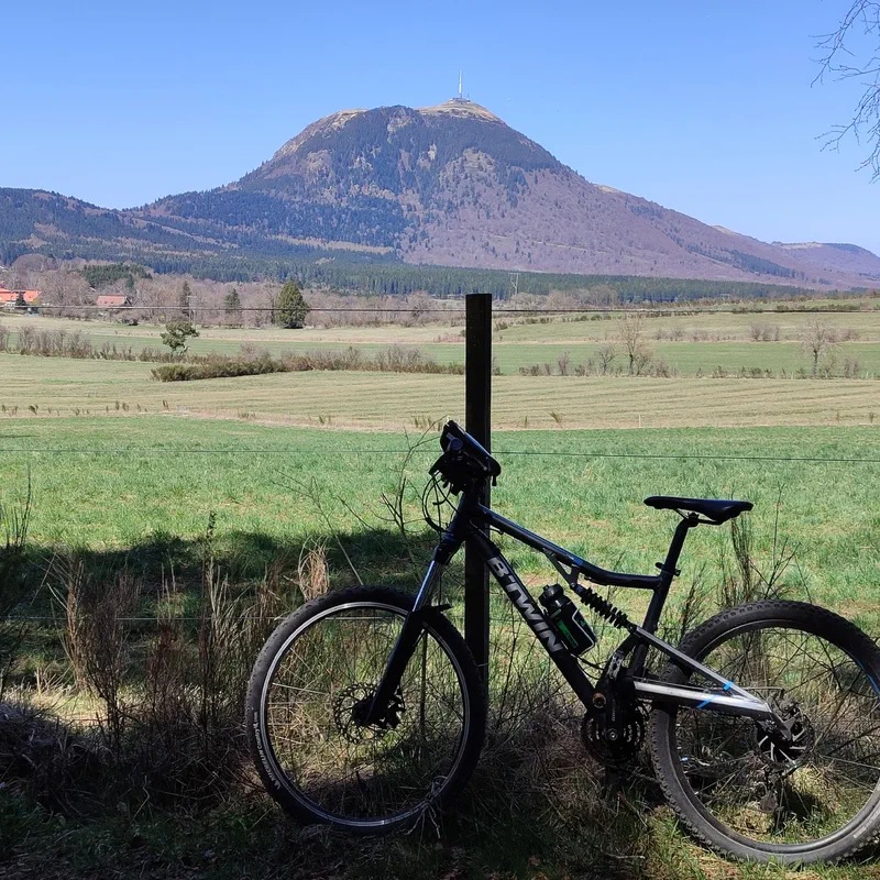
At the foot of the puys in Laschamps
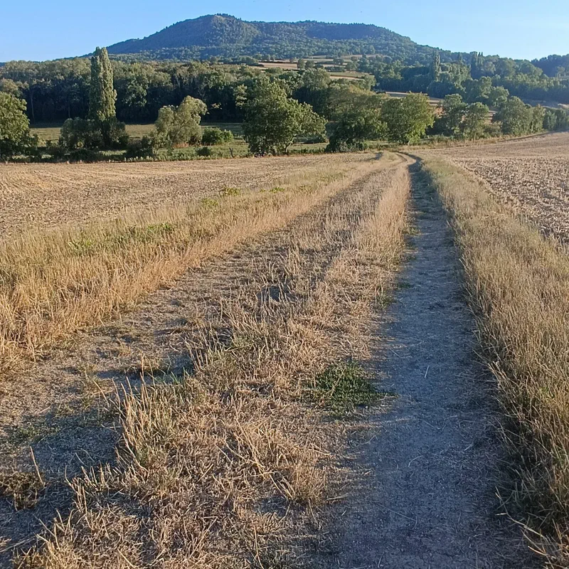
Mountain biking
Forest and volcanoes of the domes at Laschamps
- See all outdoor activities
Must-see locations

Puy de la Vache
Set off for the volcanoes of Auvergne-Rhône-Alpes to discover the famous Puy de la Vache and its twin, Puy de Lassolas, in the Puy-de-Dôme department. Starting from Saint-Genès-Champanelle, southwest of Clermont-Ferrand, this route will show you the Chaîne des Puys in all its colors. Stop searching on a map and trust our app to guide you through the maze of numerous steps that will help you gain altitude and reach the summit of Puy de la Vache on your hike.
Read article
Muleteers' Path
When visiting a region, there are always major must-see attractions. In Auvergne, it's the Puy de Dôme! And since we can only encourage you to climb to its summit on foot, we invite you to take the Muleteers' Path. A short, easy hike to ascend the slopes of Auvergne's most famous volcano without any hassle, starting from the Col de Ceyssat. And for the more athletic and enduring among us, the adventure doesn't stop there! We have prepared a selection of beautiful hikes, ideal for discovering the Puy de Dôme and its surroundings after the Muleteers' Path.
Read article
Lake Servières
Auvergne is not just about volcanoes; it is also about volcanic crater lakes! And to discover these maars, there is nothing better than a hike to Lake Servières, in the Puy-de-Dôme department. To do this, head towards Orcival (63210) for a family walk or a more challenging itinerary, during a tour of Lake Servières or a hike with a bivouac. Go hiking at Lake Servières with our free app and leave us your review!
Read article
Auvergne Lakes
Today, we are taking you to the shores of the most beautiful lakes in Auvergne! Because yes, although the Puy-de-Dôme seems dedicated to volcanoes, it has many other tricks up its sleeve: beautiful hikes, for starters, but also waterfalls and, as you will have understood, lakes offering some of the most sumptuous panoramas in Auvergne-Rhône-Alpes. Lac de Servières, Lac Pavin, Lac Chauvet, Lac de Montcineyre, but also Lac de Guéry, Lac Chambon and even the two lakes of La Godivelle… are you ready? Let's go for a tour of the lakes of Auvergne by hike.
Read article
Chaîne des Puys
Hiking in the Chaîne des Puys is perhaps the best thing to do in Auvergne. As a premier hiking destination, the volcanoes can be climbed on foot to enjoy breathtaking panoramic views of the surroundings. And the good news is that there is something for everyone: from family walks to challenging hikes for experienced walkers, the trails crisscross the Chaîne des Puys. Which one to choose? We have selected 6 hiking itineraries for you to find your own.
Read article
Puy Pariou
Today, we are setting off to discover Puy Pariou by hiking, to explore an iconic volcano in the heart of the Chaîne des Puys. Whether heading towards the center of its crater via the stairs to reach its 1,209-meter altitude, or exploring the surroundings to get a better view, Puy Pariou fascinates with its perfect conical shape and the majestic view it offers from its summit. And the good news is that with multiple routes, there is something for everyone! Families will appreciate the accessible short hikes, and more athletic hikers will enjoy longer trails (including from Puy Pariou to Puy de Dôme!). Let's go, we are heading to Orcines, in Auvergne, to walk the most beautiful hiking trails at Puy Pariou.
Read article
Rossignolet Waterfall
Let's go on a hike to the Rossignolet waterfall, following the aptly named “waterfall circuit” trail. Ready? Let's go! Heading to the Auvergne-Rhône-Alpes region, specifically to the town of Le Mont-Dore in the Puy-de-Dôme department. On the agenda: not just one, but two waterfalls, including the Queureuilh waterfall, with the option to extend the route to a third, the Saut du Loup waterfall. It's sure to amaze hikers, both young and old, along the developed trail of the Rossignolet waterfall.
Read article
Banne d'Ordanche
Why the “Banne d’Ordanche”? What is a “banne” in the mountains? So many questions that will be answered during a hike to this volcanic summit, at an altitude of 1,515 meters (and by reading this article). To start, head to the Puy-de-Dôme, in the Monts Dore massif, just above Murat-le-Quaire and La Bourboule. From there, various itineraries, on foot and by bike, are possible depending on the starting point and the level of difficulty, and all offer a breathtaking view. Discover all our walks to the Banne d’Ordanche without delay on our free app, and go hiking!
Read article
Chaudefour Valley
The Chaudefour Valley is one of the gems of the Puy-de-Dôme, in the Auvergne-Rhône-Alpes region, to be discovered by hiking. This ancient glacial valley of the Sancy Massif, located near Chambon-sur-Lac, in the Volcans d’Auvergne Regional Nature Park, is full of treasures. Volcanic dykes, sublime Auvergne waterfalls, or abundant biodiversity, it has been protected since 1991 by the Chaudefour Valley National Nature Reserve. Whether you are looking for an easy hike or a more challenging adventure up to the Puy de Sancy without needing a map, we have everything you need on our 100% free hiking app.
Read article
Puy de Sancy
Hiking at the Puy de Sancy, or how to climb to the roof of Auvergne by the strength of your calves! This stratovolcano in the Puy-de-Dôme is the star of the Auvergne Volcanoes Regional Natural Park, southwest of Clermont-Ferrand. Every year, the Puy de Sancy attracts many visitors who come to enjoy the 360° panorama of the Massif Central and beyond. And there is no shortage of trail options to reach the summit and its 1,886 meters of altitude. The most daring start from Mont-Dore, Chastreix, Super Besse, or the Chaudefour Valley. But thanks to the cable cars, there are also easy walking options for the family. Follow us, we will explain everything about hiking at the Puy de Sancy, the jewel of the Auvergne-Rhône-Alpes region.
Read article
Lake Pavin
In the Puy-de-Dôme, everything is linked to volcanoes, even its water features! This is the case for Lake Pavin, a must-visit for a short, easy family hike in the Sancy massif. With its superb viewpoints, exceptional setting, great accessibility, and unmatched depth, Lake Pavin attracts many hikers to its trails (be careful, however, as swimming is prohibited!). The most popular route? Simply the loop around Lake Pavin. Follow us, we will explain everything about Lake Pavin to convince you to come and discover it for yourself.
Read article
Lake Montcineyre
Between volcanoes and volcanic lakes, you are well served in Auvergne! And it is the tour of Lake Montcineyre, in the Puy-de-Dôme, that will help you discover its natural landscapes and its panorama of the Sancy massif. During a walk near the commune of Compains, learn more about the birth of this crescent-shaped lake and the Puy de Montcineyre that overlooks it. Let's go for a hike in Auvergne, in the land of volcanoes, south of Clermont-Ferrand!
Read article
Lac Chauvet
Lac Chauvet is a pretty, perfectly round little lake, a remnant of the volcanic past of the Puy-de-Dôme, in the Auvergne-Rhône-Alpes region. Located in the commune of Picherande, just an hour's drive from Clermont-Ferrand, come and enjoy rejuvenating forests on the shores of a lake with an unusual history. Casual walkers can opt for a short loop in the Montbert forest, while serious hikers can head to the beautiful Barthe waterfall or set off on the GR® 30. Pack your picnic, download your route on the app, and explore the surroundings of Lac Chauvet on a hike!
Read article
La Godivelle Lakes
Set off for a trip to the La Godivelle lakes, in the Puy-de-Dôme, in the heart of the La Godivelle Sagnes National Nature Reserve. Lac d'En-Haut and Lac d'En-Bas await you during itineraries ranging from easy to difficult, enough to satisfy all walking levels! Swimming, fishing, and reviews, we tell you everything about hiking to the La Godivelle lakes on Decathlon Outdoor.
Read article
Queuille Meander
In the family of French landscapes that feel like the end of the world, we present the Queuille meander, in the Puy-de-Dôme! The immense loop formed by the Sioule river is indeed similar to that of the Amazon, the famous South American river. During your hike, you will have an appointment at Paradise, the sweet name of the Queuille viewpoint, which will reveal a magnificent panorama of this meander in the Auvergne-Rhône-Alpes region. Form your own opinion about this place and take your most beautiful photos during an itinerary in the Auvergne countryside, northwest of Clermont-Ferrand.
Read article
Clermont-Ferrand
Keen on walking and hiking? Come to Clermont-Ferrand! One look at the city and the tone is set: grey on the inside with its volcanic rock architecture, and green all around. A stone's throw from the Volcans d'Auvergne Regional Natural Park and the Chaîne des Puys, we promise you will never run out of hikes in Clermont-Ferrand. From a short Sunday stroll to itinerant hiking towards the summits of the volcanoes, including family walks, here is a selection of routes to explore the trails around Clermont-Ferrand.
Read article
Mont-Dore
Hiking in Mont-Dore is a guarantee of a "four-season" adventure in the Puy-de-Dôme. This small spa town, nestled at the foot of the Sancy massif, in the Auvergne Volcanoes Regional Nature Park, is a haven of nature. On the menu: accessible trails, majestic waterfalls, and breathtaking volcanic terrain. From the Grande Cascade to the ascent of the Puy de Sancy from Mont-Dore in summer, to snowshoeing at the Capucin salon in winter: follow us to discover the best hikes in Mont-Dore.
Read article
Auvergne Waterfalls
The Auvergne waterfalls are the main attraction of the Puy-de-Dôme in spring! We love the freshness of these little corners of paradise, the magical atmosphere of a waterfall in the forest, and above all, the beautiful hikes to reach them. Sometimes hidden, often very accessible, the Auvergne waterfalls all have their own charm, from the most discreet to the most exuberant. So, what we suggest is to head to the Auvergne-Rhône-Alpes region and explore the hiking trails to choose your favorite Auvergne waterfall!
Read article
Puy Mary
239 is the number of steps to climb up to Puy Mary, one of the peaks of the Cantal Mountains. It is part of the commune of Le Claux, but is actually located at the meeting point of four Cantal communes: Le Falgoux, Le Claux, Lavigerie, and Mandailles-Saint-Julien. The ascent of Puy Mary is not impossible thanks to its well-maintained path (it is even considered an easy hike), but you might feel the steepness of the slope in your calves! To make things easier for you, we have put together a mix of several Auvergne hikes, to choose from according to your level. And to make it even simpler, put aside your map and let yourself be guided by our free app! Off to this Cantal volcano!
Read article
Cantal Lakes
Prepare to be surprised; we are taking you on a walk around the lakes of the Cantal. Did you think you had seen it all after climbing volcanoes, visiting Aurillac, discovering small medieval villages, and eating Cantal cheese? Think again; you haven't finished exploring the region! From the most famous (like Lake Saint-Étienne-Cantalès and Lake du Pêcher) to the most discreet, here is a selection of our favorite hikes around the lakes of the Cantal.
Read article
Cantal Waterfalls
Today, we are taking you to the Cantal to discover the most beautiful waterfalls in the department! From the Veyrines waterfall to the Salins waterfall, and including the Saillant waterfall, enjoy a refreshing getaway near a waterfall. And to combine pleasure with pleasure, we suggest you discover the Cantal waterfalls by hiking, without a map, thanks to our free hiking app. So, follow the guide!
Read article
Puy Griou
Climbing Puy Griou is a guarantee of an exceptional hike with breathtaking panoramas. A cone formed of phonolite (a stone with exceptional acoustic properties), Puy Griou is perhaps one of the most iconic peaks in the Cantal Mountains. From Les Chazes, the Col du Perthus, Font de Cère, the Lioran resort, or Mandailles, there is no shortage of routes to complete the ascent of Puy Griou. Ready for a hike that is both athletic and dizzying? We'll guide you!
Read article
Plomb du Cantal
Looking for a climb in the Massif Central? We have just what you need with some beautiful hikes to the Plomb du Cantal. And the good news is that even if the highest point of the Cantal mountains must be earned, don't worry, the cable car is there to offer you the easiest way to the summit of the Plomb du Cantal. Are you more of a fan of climbing? There is no shortage of options there either. From Le Lioran or from the Prat-de-Bouc pass, at Decathlon Outdoor, we have put together a selection of hikes for you to access the Plomb du Cantal and its 1,855 meters of altitude. Ready? Browse our maps, choose your route, head towards Saint-Jacques-des-Blats and let's go!
Read article
Cantal Mountains
They are called the Cantal mountains, or even the Cantal volcano; as you will have understood, these are the peaks of the Cantal massif, which are more broadly part of the Massif Central. And hiking in the Cantal mountains is intense (in every sense of the word)! So, whether you are a novice or athletic, grab your shoes and your camera to go explore these witnesses of the past and give us your opinion on our app (we're ditching the map)!
Read article