


Mireille2 weeks ago


Outdoor activity description from Dragey-Ronthon
Automatically translated
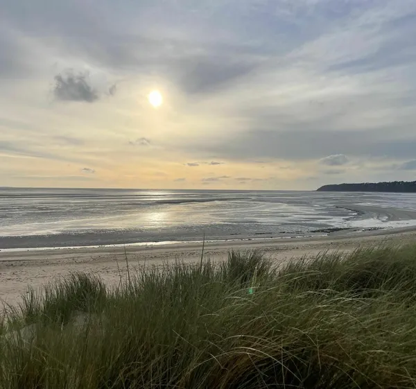
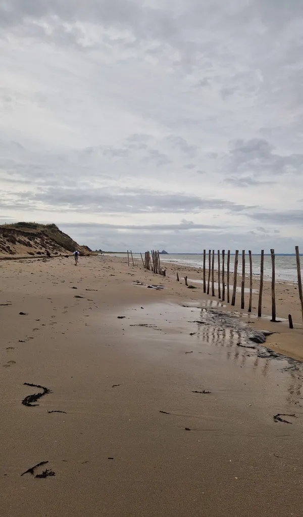
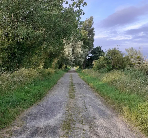
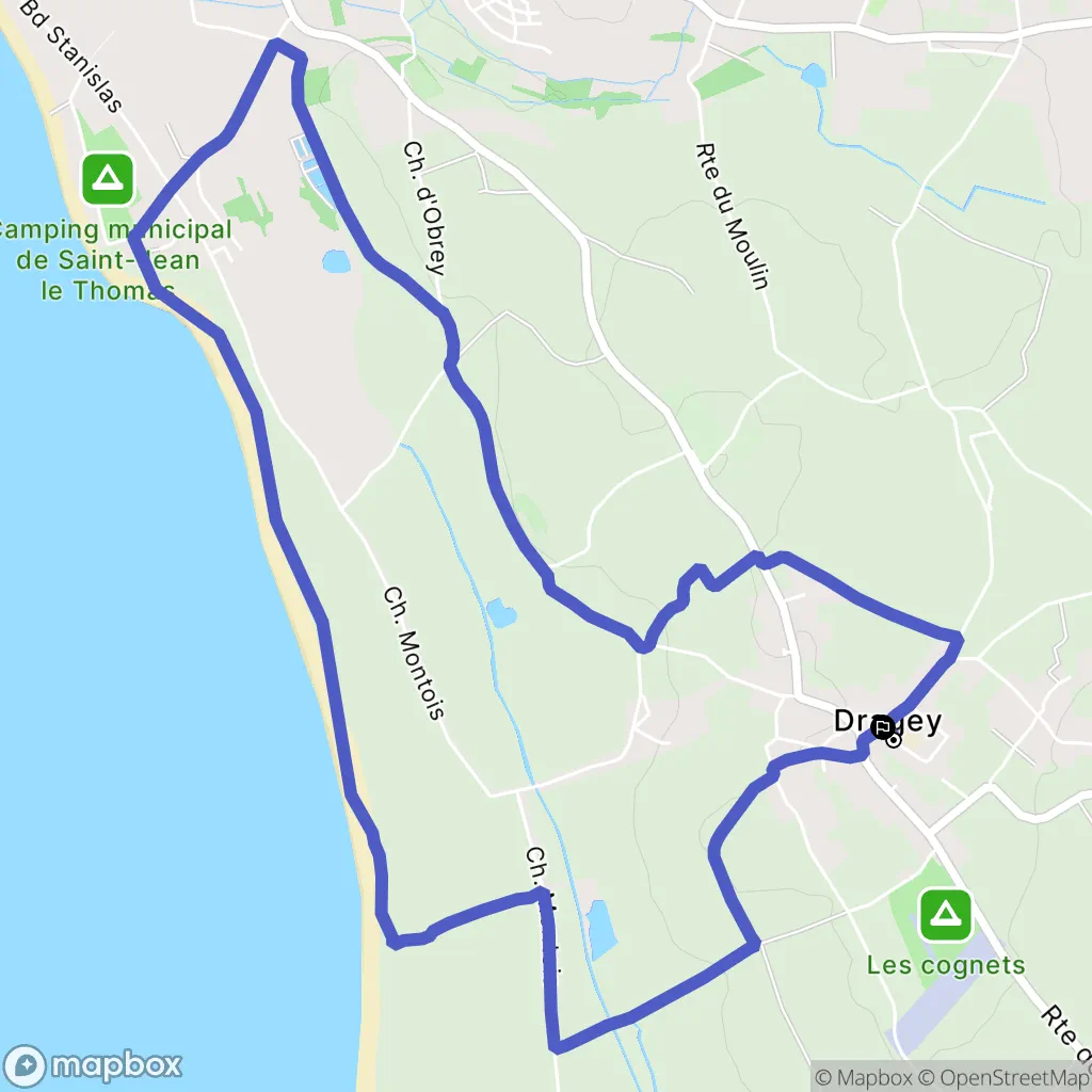
Starting from Dragey town hall, the route heads towards St. Jean le Thomas along small roads and paths, passing through villages with beautifully renovated buildings.
The return journey follows the beach with Mont Saint-Michel directly opposite, offering a magnificent and unobstructed view of the bay.
To better prepare yourself
Our current selection
 Kiprun 500 ml soft flask
 Bone Conduction Headphones OpenRun Pro 2 - Black
 RUN LIGHT 250 FW19 CHEST RUNNING LIGHT - black
 Men’s waterproof hiking jacket -10°C, NH500 - Black
 Smartwatch running Garmin Forerunner 165 black/dark grey
 GO ISOTONIC ENERGY GELS - 7 x 60ml
Outdoor activity details
Bicycles for rent
Start activity from Dragey-Ronthon
1 Place de Newport
Other outdoor activities nearby
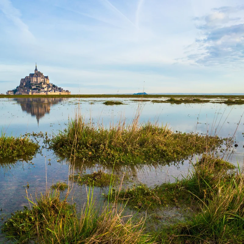
The paths of Saint-Michel via Saint-Jean-le-Thomas
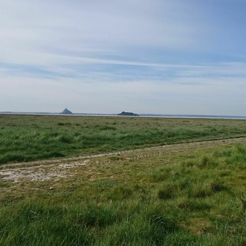
Stroll along the Bay of Mont-Saint-Michel
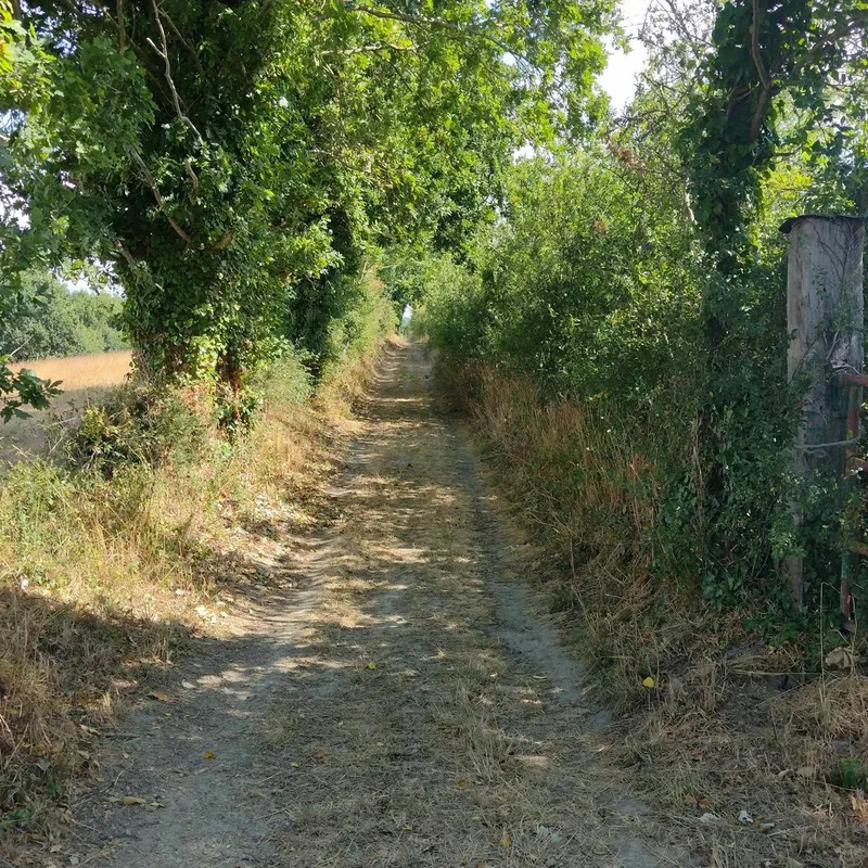
Balade a Bacilly
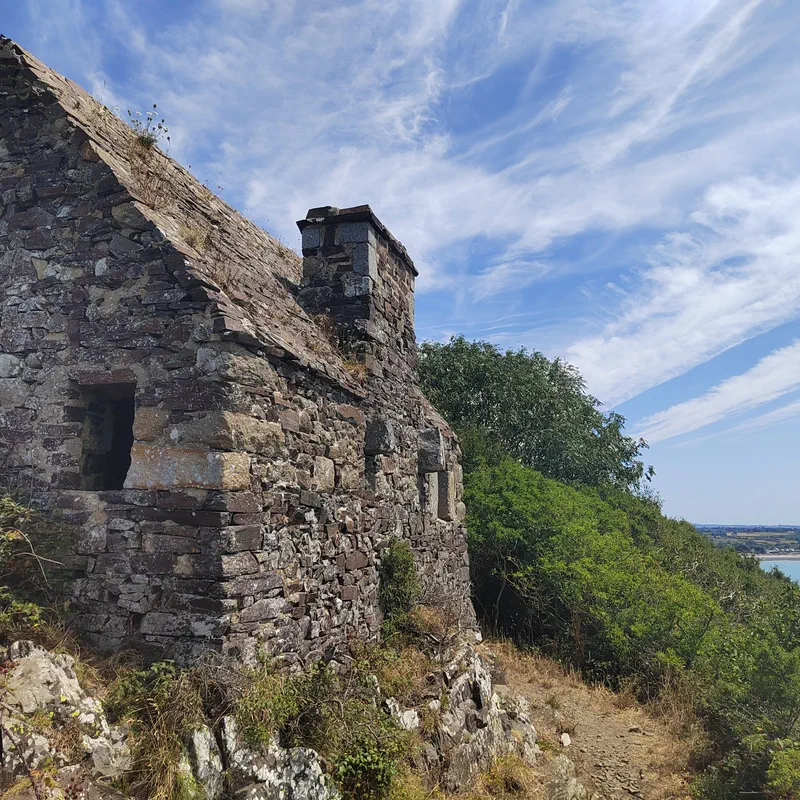
Saint-Jean-Le-Thomas - Carolles
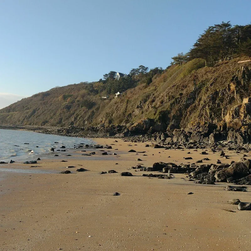
From Saint-Jean-le-Thomas to Sol-Roc via the beach
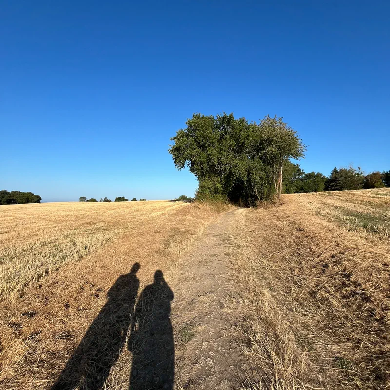
Walk in Saint Jean le Thomas with a view of Mont Saint Michel
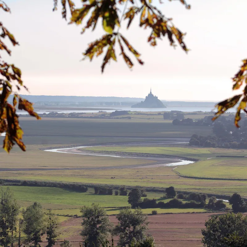
Front row seats on Mont Saint-Michel via the GR® 223
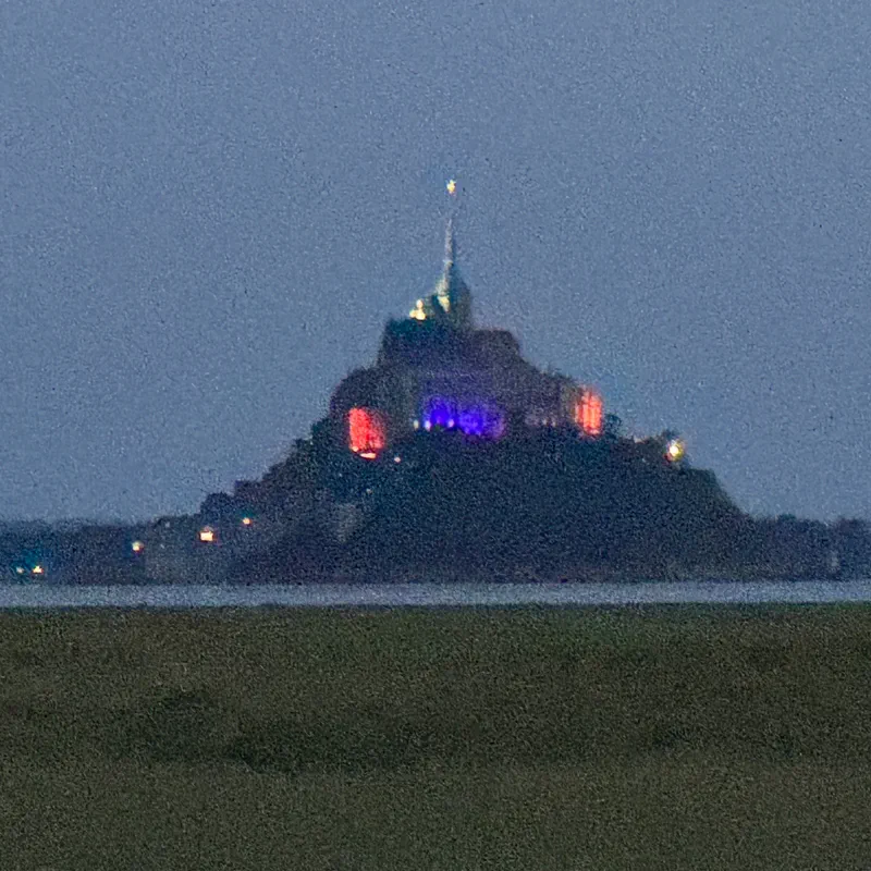
Little Hell and Manet.
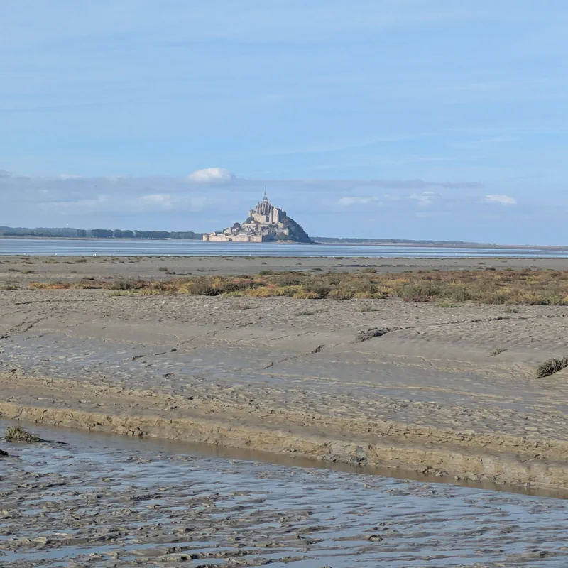
Walk from Genêts to the southern snout
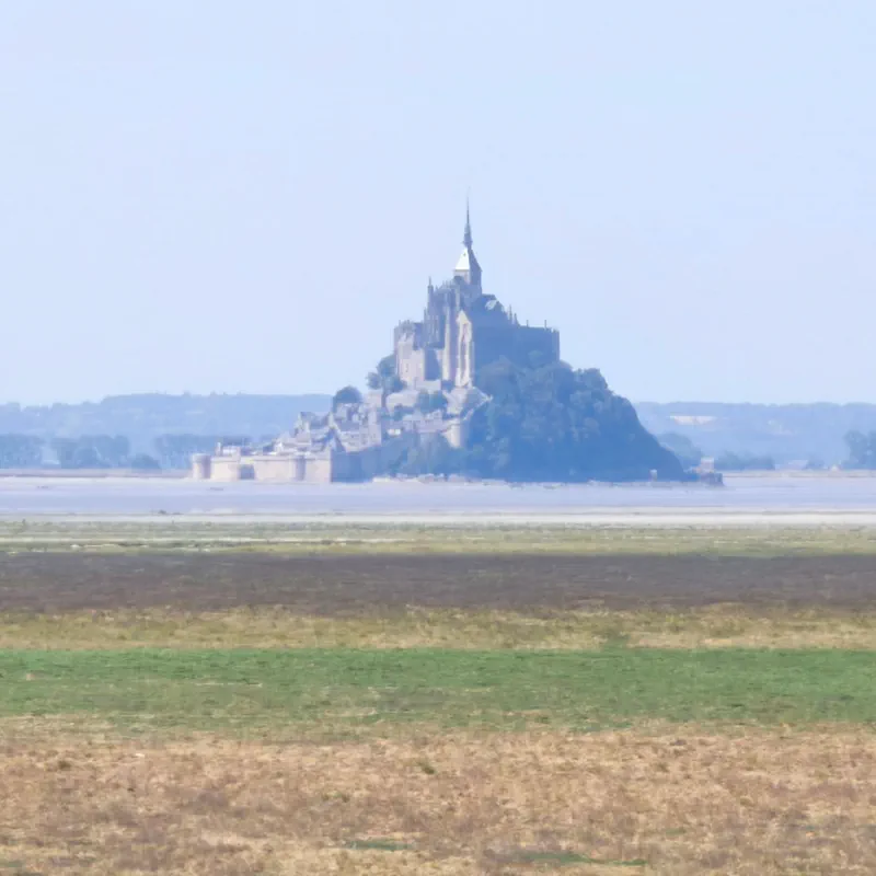
Mont-Saint-Michel Bay and fabulous panoramas
- See all outdoor activities
Must-see locations

Mont Saint-Michel
Embark on a hike in the Manche, heading for Mont Saint-Michel, one of the emblems of French heritage. Take the paths of this islet and explore the circuits winding through the various towns around its bay. Between sea, rock, hedgerows, and polders, enjoy the richness of the landscapes during a hike at Mont Saint-Michel, on foot or by bike (and even on horseback!), guided by our free hiking app.
Read article
Agon Point
It is in Normandy, and more precisely in the Manche department, that we suggest a hike with sea air, along the beaches of Agon Point. Discover the Agon Point lighthouse, walk the GR® 223 "Normandy Coast" trail, and travel from the center of Agon-Coutainville to Agon Point via various routes, in the heart of a protected natural area. Need a map? Use our free app for your hike at Agon Point, and leave us your photos!
Read article
Mortain Waterfalls
It is in the Manche department, in Normandy, that we invite you to come and discover not just one waterfall, but the Mortain waterfalls on a hike, between forest paths and rocky landscapes. Head to Mortain-Bocage to start one of the community's favorite routes. Price, reviews, address, access, nothing could be easier with the Decathlon Outdoor hiking app and its interactive map to guide you during your hike to the Mortain waterfalls.
Read article
Cap Fréhel
Destination Cap Fréhel! We are setting off to discover a gem of Brittany, and more specifically the Côtes-d’Armor, very close to Saint-Malo, Dinan, and Cap d’Erquy. Today's goal? To hike along this little stretch of the English Channel coastline, all the way to the tip of Cap Fréhel, passing by its lighthouse and even Fort La Latte. Sumptuous views await you, between cliffs battered by high tides on one side, and lush, flowery landscapes on the other. Is your camera ready? Let's go, we're taking you on a hike at Cap Fréhel!
Read article
Cap d'Erquy
The Cap d’Erquy awaits you in Brittany, adorned in its sumptuous colors! Pink sandstone cliffs, moors covered in gorse and fragrant heather, crisscrossed by a myriad of trails... the Grand Site Cap d’Erquy - Cap Fréhel is a true paradise for fans of hiking and cycling outings (notably from Pléneuf-Val-André on the Vélomaritime). And to discover its itineraries, you no longer need a map! From the parking lot to the viewpoints, we guide you with our app throughout your hike at Cap d’Erquy!
Read article
Andaine Forest
The Andaine Forest? If you are looking for a timeless place to recharge your batteries in Normandy, then this is where you must come. Here, in the Orne department, you will find remarkable trees, ancestral legends, and hiking trails lined with mushrooms—the ideal spot to escape for a walk and get a breath of fresh air. Whether for a quick hour or a full day, head to Bagnoles-de-l’Orne to explore the Andaine Forest and discover its wonders!
Read article
Cap de Carteret
Immediate boarding at Cap de Carteret in the Manche department in Normandy for nature hikes between land and sea. Set off to discover a portion of the Cotentin's Côte des Isles, walk the paths of the perched dunes, walk barefoot on the vast stretches of sand, and take the famous customs officers' path (GR® 223) during your walks. Choose the hiking route that suits you now and follow the guide!
Read article
Roche d'Oëtre
The Roche d'Oëtre is a must-visit for hiking in the Orne department. In Saint-Philbert-sur-Orne, amidst a landscape typical of Normandy, featuring Orne hedgerows and green hills, this rocky outcrop stands out. Rising 118 meters high, this viewpoint overlooking the lush Rouvre Gorges attracts nature lovers: tree climbing, cycling, trail running, and of course, hiking! From short, easy family walks to long-distance trekking on the GR® de Pays "Tour de la Suisse Normande," there are activities and, above all, trails for all levels. Follow us on a hike to the Roche d'Oëtre, and good news: with our app, you no longer need a map!
Read article
Rabodanges Lake
Come and recharge your batteries at Rabodanges Lake, in the heart of Normandy! Located in Putanges-le-lac, in the Orne (61) department, this reservoir lake is a haven of peace for outdoor activity enthusiasts. On the agenda: swimming, water skiing, boat trips, and of course hiking to discover Swiss Normandy. Follow us as we present the best walks to take around Rabodanges Lake, which you can follow using our 100% free app!
Read article
Devil's Breach
Venture out on the hiking trail of the Devil's Breach in the Calvados department, in Normandy. About thirty minutes from Caen, in the town of Potigny, this natural site can be explored via an itinerary between rock and forest, tracing the very origins of humanity. Let yourself be told stories and form your own opinion by choosing from our various hikes at the Devil's Breach.
Read article
Rennes
We are taking you on a hike in the capital of Brittany to discover its history, its culture, and… its trails! As you have guessed, we are heading to Rennes for a walk, and let us just say we have a great program in store for you! Strolls in the center of Rennes, cycling trips along the canal, hiking in the forest, and even as far as Saint-Malo, we will guide you with our app!
Read article