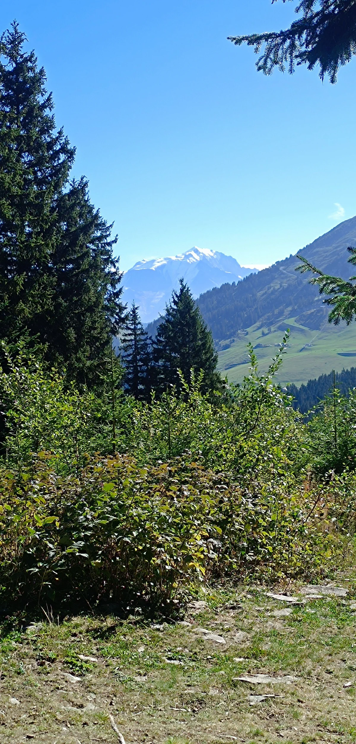
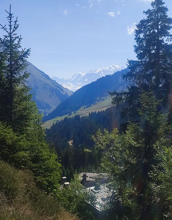
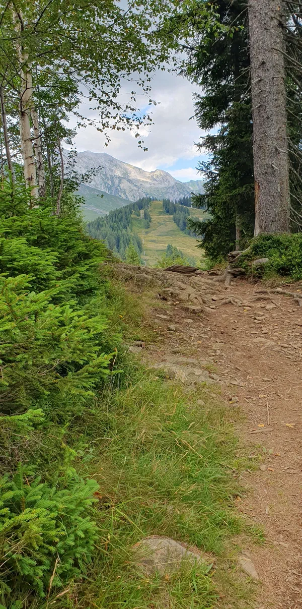
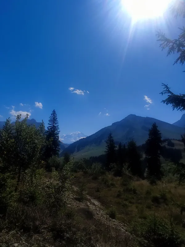
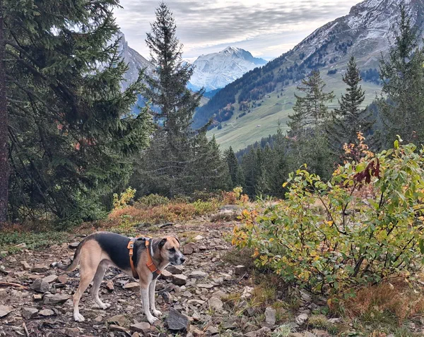
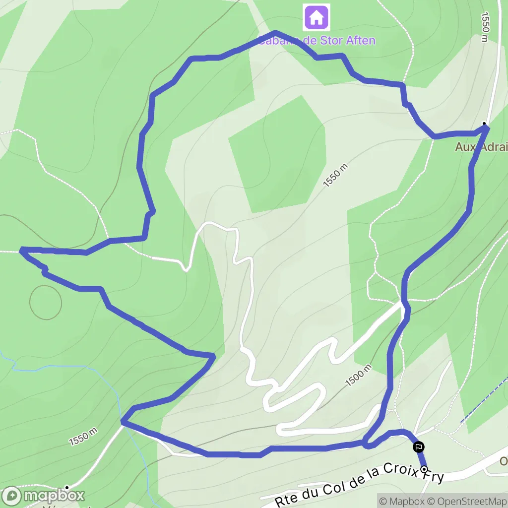
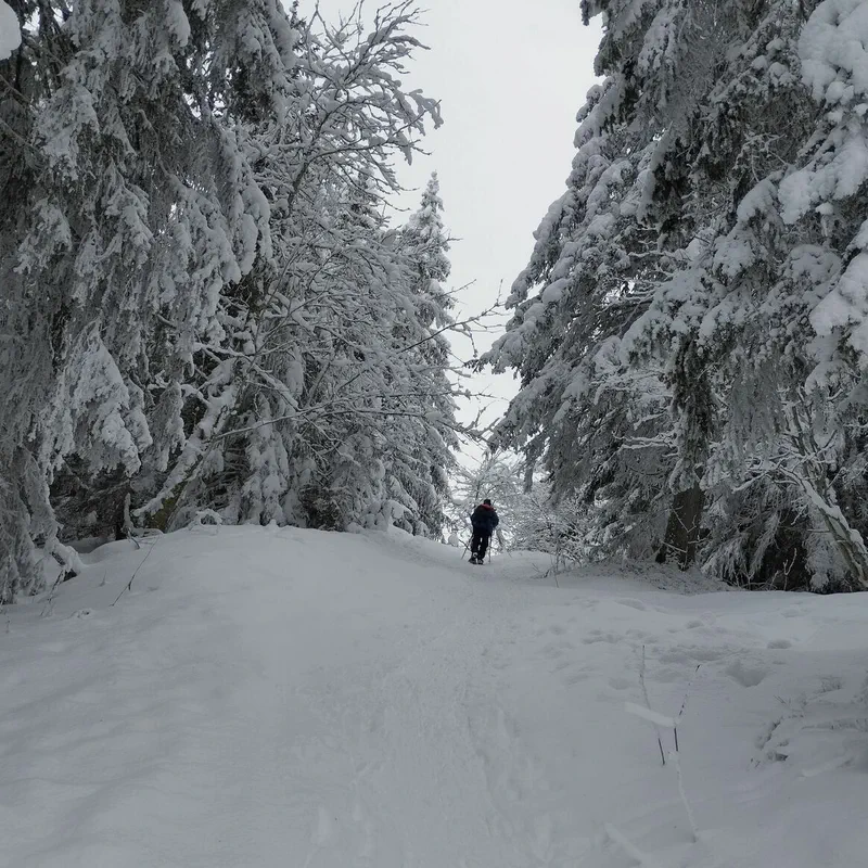
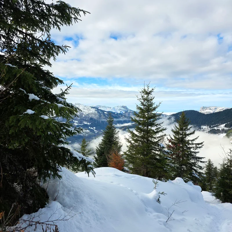
Wow, I loved this little hike, a superb view 🤩
Automatically translated


Automatically translated





Vélo électrique - Taille XS (150-165cm)
Starting from
Vélo électrique - Taille S (160-175cm)
Starting from
Vélo électrique - Taille M (170-185cm)
Starting from
Vélo électrique - Taille L (180-195cm)
Starting from
Vélo électrique enfant (130-145cm)
Starting from
Vélo tout chemin - Taille S (155-175cm)
Starting from
Vélo tout chemin - Taille M (165-180cm)
Starting from
Vélo tout chemin - Taille L (180-195cm)
Starting from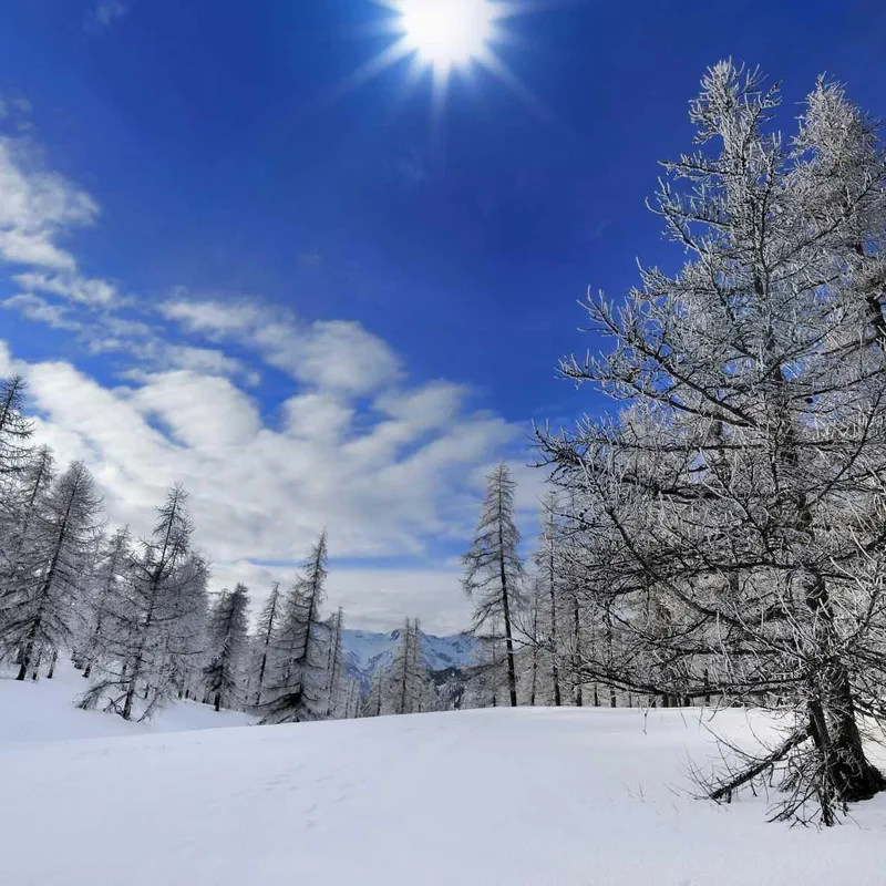
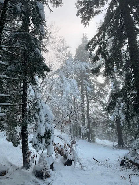
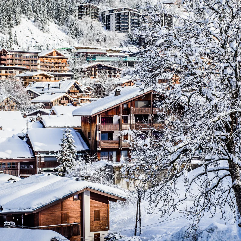
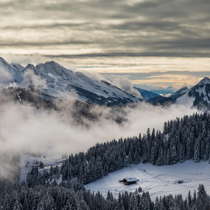
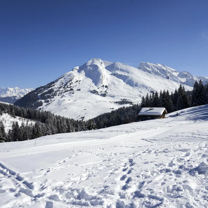
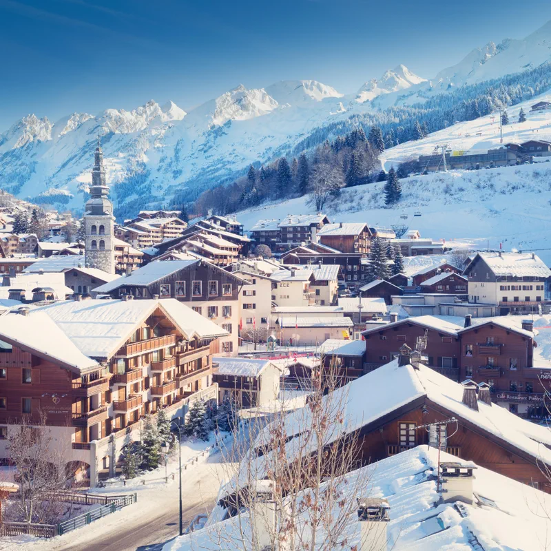
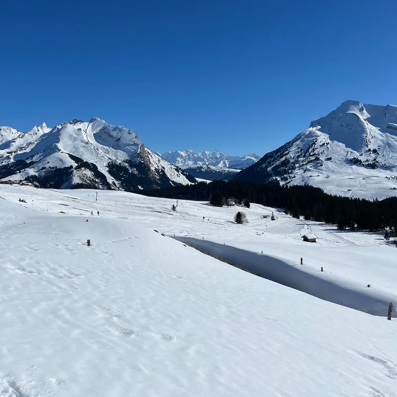

The Trou de la Mouche is a curiosity of the Aravis mountain range that you must see while hiking. This passage through the rock, perched between Haute-Savoie and Savoie, is discovered during a hike from La Clusaz. A loop trail that offers an exceptional panorama of the Aravis combe and, more generally, the reliefs of the Bornes-Aravis massif. Ready? We present the best hiking trails.

Let's go! We're heading to the Aravis range to climb to the very top of the Montagne de Sulens. And since there's no shortage of routes around here, we have several hikes to suggest: from Plan Bois, or via a loop along the postman's trail. And for those looking for a less crowded alternative, we've also planned to take you on a tour of the Montagne de Sulens, passing through the Col de la Botte. Ready? Head for Haute-Savoie, Decathlon Outdoor will accompany you on your walk!

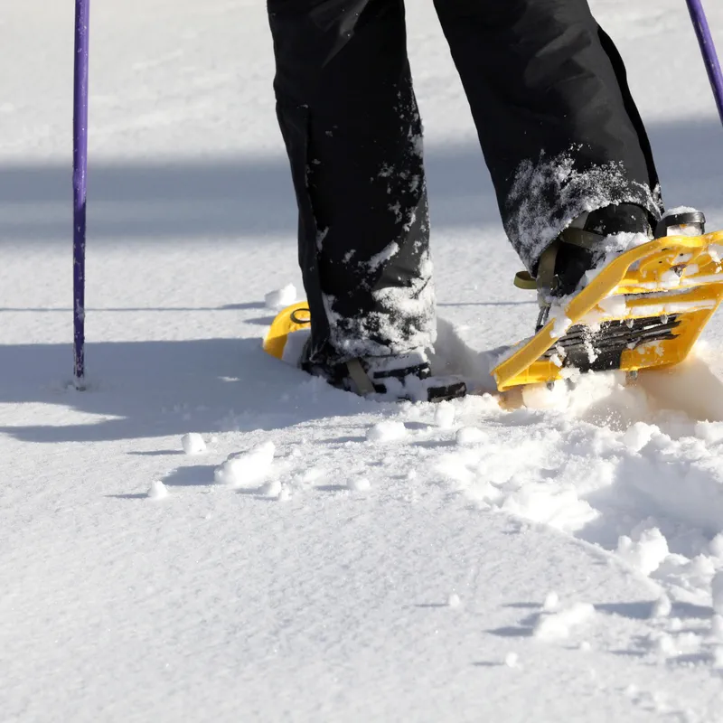
Craving some fresh snow? Let's go snowshoeing in La Clusaz! Located in the heart of the French Alps in the Aravis mountain range, this town (best known for alpine skiing) is full of frosty little trails to explore with snowshoes on your feet. Whether on the Beauregard plateau, at the Col des Aravis, or near Lac des Confins, we offer custom itineraries for your snowshoe hikes in La Clusaz!

Ready for a mountain adventure? We are heading to the heart of the Alps to explore the Aravis Range, a small mountain range bordering Lake Annecy, on hike. On the agenda: rather challenging hikes featuring mountain lakes, dizzying peaks, and significant elevation gains. Whether you are tackling the Pointe Percée or Mont Charvin, or perhaps going on a two-day hike around Lake Tardevant, there is no shortage of routes in this limestone massif covering over 8,000 hectares. So, to help you make your choice, here is a quick overview of our favorite hikes in the Aravis!

Venturing to the summit of Mont Charvin means choosing an experience between hiking and via ferrata in the Auvergne-Rhône-Alpes region. And while the view is certainly enticing, the itinerary is strictly for experienced mountaineers equipped for an exposed route. So, to satisfy everyone, we offer both hikes to Mont Charvin, all the way to the summit, as well as other routes accessible without needing to use your hands, for walking and exploring the Haute-Savoie region more leisurely.

The climb to the summit of La Tournette is a must-do for hiking around Annecy. From Les Clefs or Talloires-Montmin, come and climb this mountain in the Bornes Massif that overlooks the famous Lake Annecy. Follow us, we have selected three routes for you to explore this corner of Haute-Savoie on foot!

Head to the Aravis Massif, on the Haute-Savoie side, where you will find a small alpine lake, accessible only by hiking trails. Lessy Lake is located in the municipality of Glières-Val-de-Borne, in a valley at the foot of the impressive Jallouvre Peak, Buclon, and Aiguille Verte, at an altitude of 1,730 meters. Join this natural gem in Auvergne-Rhône-Alpes without delay, located on the GR® 96 "Pré-Alpes de Haute-Savoie" trail, by following our free hiking app!

While visiting Annecy, come walk to the Angon waterfall! This impressive waterfall is accessible via numerous hiking trails. A gem of Haute-Savoie (74) to discover through walking routes just a stone's throw from Lake Annecy.

If you are looking for a quiet spot for a hike in Haute-Savoie, we suggest you gain some altitude with this hike to Lake Peyre. From the famous Col de la Colombière, reach this mountain lake in a peaceful and natural setting accompanied by our hiking app, and leave us your review!

It is one of the most beautiful mountains bordering Lake Annecy and a must-see in the Haute-Savoie region. Standing at 1,832 meters high, the Parmelan offers sumptuous viewpoints and a diverse environment, ranging from forests and rolling paths to steep scree slopes and limestone pavement fields... not to mention Mont Blanc in the background! So, whether you are at the foot of these impressive cliffs with an easy hike at Parmelan, or heading towards its summit via a challenging trail, here are our favorite routes to explore this iconic mountain.

Imagine yourself on a wild peninsula wedged between the small and large lakes of Annecy, where every path reveals a new panorama of the turquoise waters. Welcome to the Roc de Chère! Rising to nearly 660 meters, this rocky promontory is part of the Roc de Chère Nature Reserve, classified as a national nature reserve. In short, an ideal site for outdoor sports enthusiasts! Whether you prefer a short stroll with the family or a sporty circuit that gets your calves burning, this protected site can be explored at your own pace. And to make sure you don't miss anything, the Decathlon Outdoor app offers several detailed itineraries, with maps and points of interest to explore the Roc de Chère on a hike.

Follow the guide: we're taking you on a hike to discover not one but two Monts Baron in Haute-Savoie! Whether from Annecy or Bernex, discover the most beautiful routes to explore these little gems of the department. All this, thanks to our 100% free hiking app.

Mont Veyrier is a must-see for hiking enthusiasts visiting Annecy. This small mountain overlooks the famous lake in Haute-Savoie (74), and several walking trails, ranging from easy to more technical, provide access to its summit. Follow them with confidence using our free hiking app!

Ready to go hiking? Head to Lac Bénit, which truly lives up to its name with its little paradise vibes. At the foot of the majestic Bargy massif in Haute-Savoie, this small alpine gem sits in the middle of a pine forest. From Mont-Saxonnex, we offer various routes to discover this exceptional spot. So, whether you are a loyal fan of the trails or, on the contrary, a new enthusiast of the discipline, with our hikes to Lac Bénit, you will be well served!

Get ready for a hike that feels like a little adventure, all the way to the summit of Charbon Mountain. On the agenda: some elevation gain, certainly, but also a grandiose panorama over Savoie and Haute-Savoie, a possible overnight stay in a mountain refuge, and a splendid view of Lake Annecy in the early morning, all thanks to pleasant little hiking trails. Whether passing through Montgellaz (in the municipality of Lathuile) or via the Pointe de Banc Plat, discover the most beautiful hikes on Charbon Mountain! We have selected our favorite itineraries for you to encounter the flora and fauna of the Bauges Massif, enjoy the fresh air of the Alps, and spend unforgettable moments on the trails. Ready? Let's go!

The third largest waterfall in France and the largest in the French Alps: why not go for a hike to the Arpenaz Waterfall, near Sallanches (74700)? With a height of 270 meters, it is visible from both near and far, on foot or by bike. Before you leave, check the weather (to make the most of it) and set off to discover this impressive waterfall with our hiking app… and don't forget to leave us your review!

Come and visit the Beaufortain massif, a little paradise for hiking enthusiasts! Straddling the Savoie and Haute-Savoie regions, this beautiful mountain range in the Alps has everything you need in terms of lakes and peaks: from the imposing Pierra Menta to the sharp Aiguilles de la Pennaz, and the massive Lac de Roselend, all (almost) always with Mont Blanc as a backdrop. In short, whether you are looking for an easy hike, a multi-day trek, or even snowshoeing in the Beaufortain, you are sure to be amazed! And if you don't have a Beaufortain hiking map, don't worry, because our free hiking app will guide you along the most beautiful trails.

It is not the highest mountain in Haute-Savoie, but Le Môle is unmistakable. Hiking trails lead to the summit of this conical peak, which is visible from Geneva. Come for a walk on the paths of this small mountain that is full of charm.

Embark on a hike to the Platé Desert in Haute-Savoie! Discover this karst plateau with its bizarre shapes, perched in the Faucigny massif, above the heights of Flaine, Passy, and Sixt-Fer-à-Cheval. Accessible via an easy walk thanks to its cable car, or more challenging hikes, the Platé Desert awaits you. Ibex, fossils, and a breathtaking view of Mont Blanc: with Decathlon Outdoor, our 100% free hiking app, the natural treasures of the Alps are yours to explore!

Do you want to go for a hike in the Bauges? You've come to the right place! This pre-Alpine massif with 14 peaks exceeding 2,000 meters is at the crossroads of Savoie and Haute-Savoie. Bordered by the towns of Chambéry, Aix-les-Bains, and Annecy, the Bauges Massif is a natural paradise accessible in the Auvergne-Rhône-Alpes region. Chamois, mouflons, and black grouse: the Bauges Regional Natural Park is home to remarkable flora and fauna. From a short stroll to a challenging hike, you will definitely find what you are looking for on the 500 kilometers of trails in the Bauges Massif!

Get ready for some fresh air, we're taking you on a hike to Roselend Lake! Head towards the Beaufortain massif, in the municipality of Beaufort (in Savoie). On the agenda: immersion in alpine landscapes where Tarine cows graze, face-to-face with the Pierra Menta and the tranquil waters of a dam lake, at an altitude of 1,557 meters. Breathe and enjoy, we'll take care of finding you an itinerary! Whether it's for a short easy hike or a great challenge, on foot or by bike, we have prepared a selection of nature outings at Roselend Lake for you.

The Rocher du Vent is a classic hike in the Beaufortain massif: just a stone's throw from the Cormet de Roselend, this majestic rock formation at an altitude of 2,300 meters offers breathtaking views of the Lac de Roselend, the Lac de la Gittaz, and even Mont Blanc. To reach this small summit, you embark on a thrilling ascent that begins in the Rocher du Vent tunnel, continues along a cliffside path, and for the most experienced, ends with the Rocher du Vent via ferrata.

How about a hike to the Jovet Lakes? If you are looking for majestic panoramas, typical Haute-Savoie views, summits within reach of... your gaze, a night in a mountain refuge, all at the end of a rather challenging hike, then you are in the right place! But please, no bivouacking or swimming, so as not to damage the fragile natural environment of these high-altitude lakes. Ready for a magnificent getaway at the foot of Mont Tondu? We explain how to get to the Jovet Lakes by hike, from Les Contamines-Montjoie or from Les Houches.

Today, we are heading to the Beaufortain massif, and more specifically to Beaufort, to discover Saint-Guérin Lake. This beautiful alpine setting nestled at an altitude of 1,570 meters is the perfect place for a mountain hike. On the agenda: crystal-clear waters, lush meadows and alpine pastures, and an airy crossing via the Saint-Guérin Lake Himalayan footbridge overlooking the Poncellamont gorge... enough to make you fall in love with the mountains for sure! The best part? No need to search for Saint-Guérin Lake on Maps: thanks to our free hiking app, we guide you on the most beautiful routes!