Dransart2 weeks ago
Outdoor activity description from Chambéry
Automatically translated
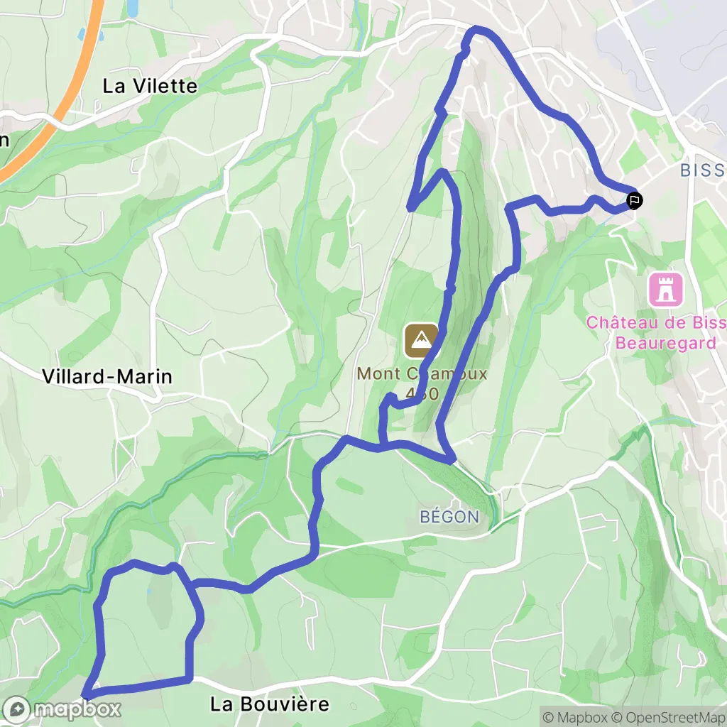
Park in the parking lot at 32 Route de Chaloz - 73000 Chambéry
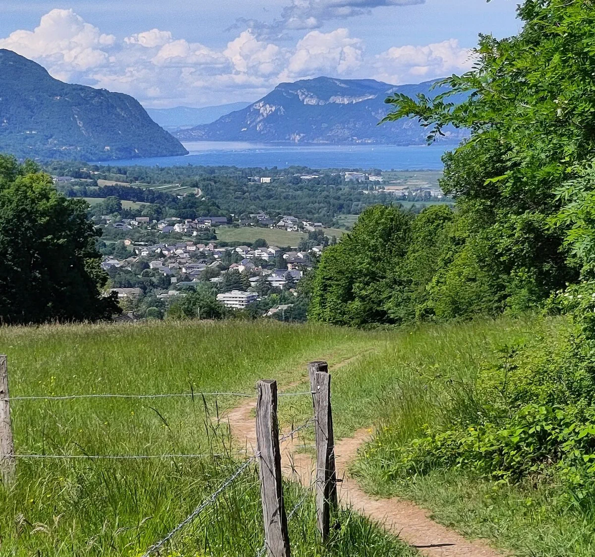
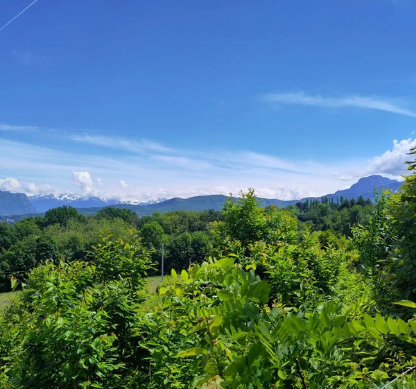
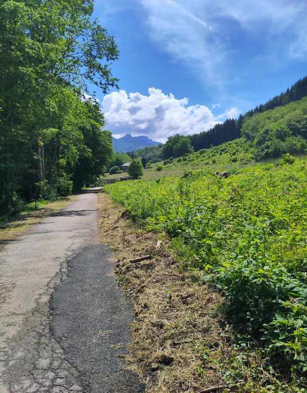
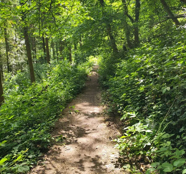
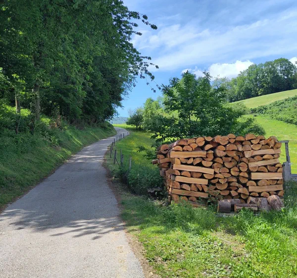
A lovely walk in nature. Allow 2 to 3 hours depending on your pace.
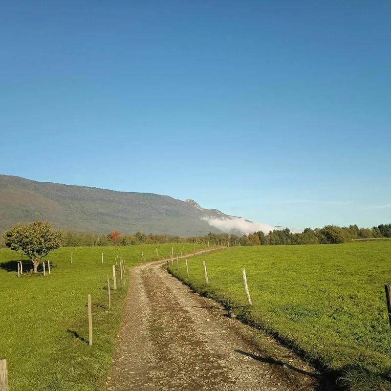
The walk is on mixed terrain: road, path, forest, gravel, and dirt.
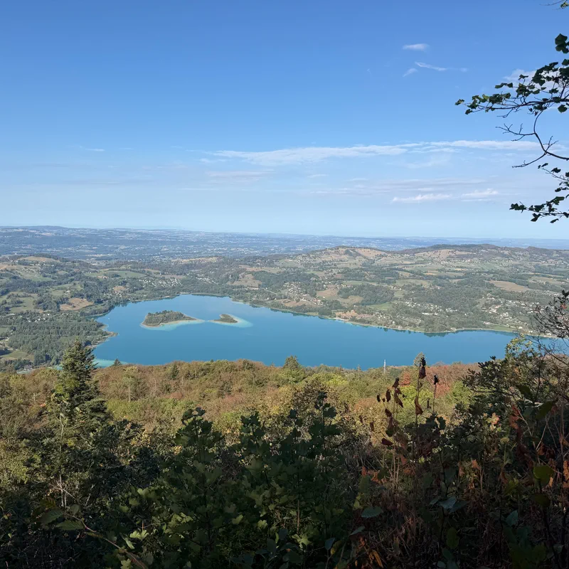
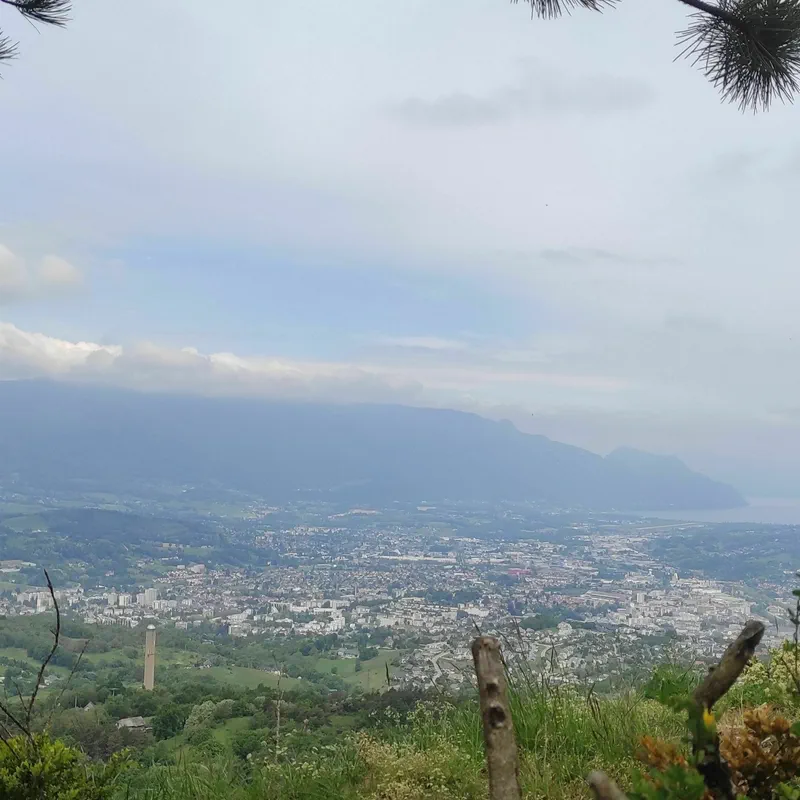
The beginning is steep (the first 600 meters). It's generally uphill for the first 2 km. Then there's a long stretch of flat terrain, sometimes going uphill, sometimes downhill. In the last few kilometers, there's a magnificent view of the Bourget ferry crossing, like a sea ending between the mountains.
A perfect way to recharge in nature, right next to Chambéry!
To better prepare yourself
Our current selection
 Merino Wool Trekking Neck Warmer, MT500 - Black
 RUN LIGHT 250 FW19 CHEST RUNNING LIGHT - black
 Men's Waterproof Walking Boots NH100 Black
 GO ISOTONIC ENERGY GELS - 7 x 60ml
 Men’s waterproof hiking jacket -10°C, NH500 - Black
 Kiprun 500 ml soft flask
Outdoor activity details
Bicycles for rent
 Electric
VTTAE Tout suspendu 625Wh
Starting from€59 Electric
Moustache Xroad 4 open M 600WH
Starting from€60 Electric
Moustache Dimanche 28.2 L
Starting from€70 Electric
Moustache Dimanche 28.2 M
Starting from€70 Electric
Moustache Dimanche 28.2 Open S
Starting from€70 Electric
Moustache Dimanche 28.4 L
Starting from€70 Electric
Moustache Dimanche 28.4 M
Starting from€70 Electric
Moustache Lundi 20 Cargo 3
Starting from€70
Start activity from Chambéry
32 Route de Chaloz
Other outdoor activities nearby
From La Croix de Bissy to the Crucifix and Saint-Michel passes
After-work stroll in the hills above Bissy via Chalou
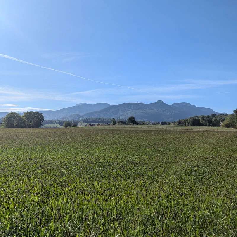
Between La Motte, Saint Sulpice and Cognin
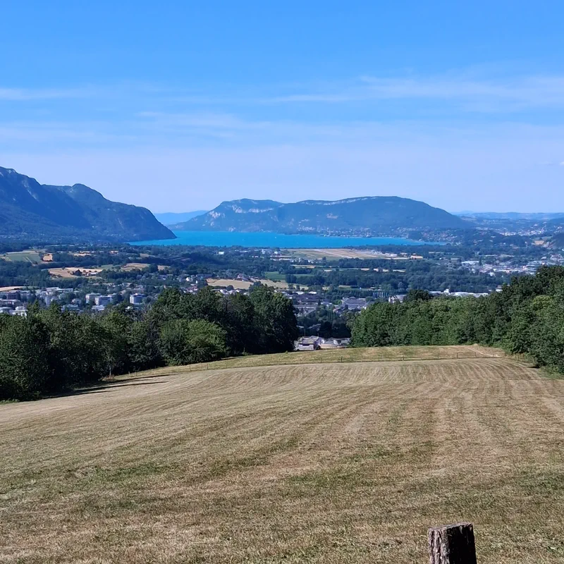
Walk with a view in La Motte-Servolex
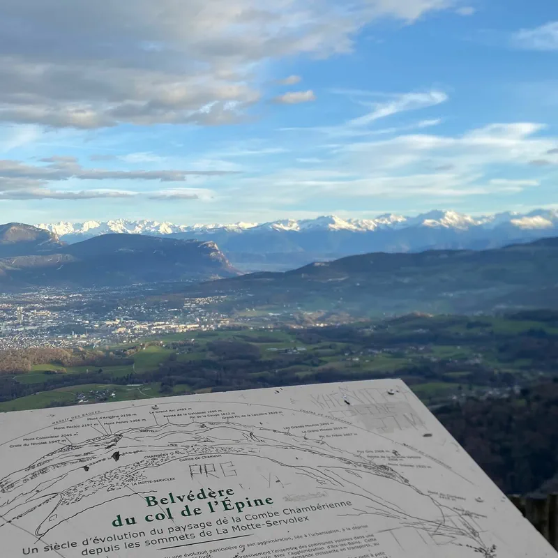
Four mountain passes loop starting from La Motte-Servolex
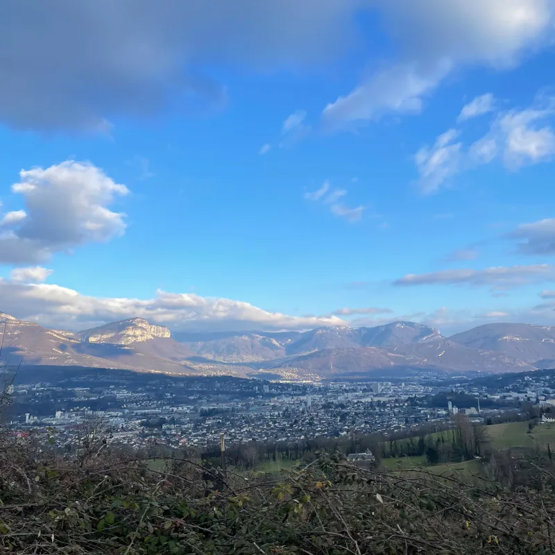
Walk from La Motte-Servolex via Mont Chamoux
The Raven's Beak by the Coche cross and the Charmette
Marsh walk La Motte Servolex
Hike from Lachat to Forezan
Montagnole & cascade
- See all outdoor activities
Must-see locations

Mont Grêle viewpoint
A rather iconic hike in Savoie! We'll take you to the Mont Grêle viewpoint to enjoy a stunning view of the waters of Lake Aiguebelette below. On the agenda for this day in Auvergne-Rhône-Alpes: some forest climbing, a rather impressive waterfall, and a masterful panorama at the end of this beautiful hike to the Mont Grêle viewpoint.
Read article
Nivolet Cross
From its promontory in the Bauges massif, the Nivolet Cross proudly watches over the entire Chambéry valley. It is impossible to miss if you are passing through the Savoyard capital. And what we particularly appreciate (in addition to the superb viewpoints!) are the hiking trails suitable for both family walks and athletic challenges. Were you looking for the most beautiful hike to the Nivolet Cross? Here are our best routes!
Read article
Dent du Chat
If you are looking for a hike on the summits of Savoie, embellished with a legendary history, topped with dizzying passages, and enhanced by a panoramic view, then we have just what you need! The hike to the Dent du Chat is a panoramic mountain trail overlooking the famous Lac du Bourget. There is even a story about cheese in all of this! If we have managed to pique your curiosity, then lace up your boots, grab our app, and fly off to this sublime corner of Auvergne-Rhône-Alpes!
Read article
Mont Revard viewpoint
We are taking you to the land of Tome des Bauges cheese for a hike to ascend Mont Revard and discover its viewpoint. We invite you to explore the Savoie side of the Bauges massif on an accessible hike, featuring breathtaking panoramas of the Aix-les-Bains valley and Lac du Bourget. Stroll to the Revard viewpoint, then walk to the summit of Mont Revard, alternating between forests and alpine pastures: a combination that will dazzle you. So, let's get started with our free hiking app that will guide you through this wonderful corner of Auvergne-Rhône-Alpes! Don't hesitate to leave your review!
Read article
Mount Granier
Head to Savoie for a hike up Mount Granier, a local must-see at an altitude of 1,933 meters. Grandiose in its dimensions as well as its tumultuous history, this giant never ceases to be the talk of the town. So, before you leave, check the weather, grab your phone with our app, and head to the summit of an iconic mountain full of twists and turns for an unforgettable hike up Mount Granier!
Read article
Lac de la Thuile
Ah, Savoie! Its mountains, its valleys, and... its lakes! There is nothing like it to breathe fresh air, immerse yourself in nature, and enjoy a beautiful adventure! And it is at Lac de la Thuile that you can live this experience, in the heart of the Bauges Massif Regional Natural Park, at an altitude of 874 meters. This small alpine lake in the mid-mountains offers multiple walk options to discover without a map, but with our free app. Lace up your shoes without delay, and escape on a hike to Lac de la Thuile in Savoie, not far from Chambéry.
Read article
Savoie Lakes
The sunny days are coming, and we are looking for the most beautiful lakes in Savoie! A quiet walk by the water, on foot or by bike? A challenging hike to a mountain lake? Or an easy hike around a small turquoise gem? We promise, there is something for everyone! Lake Aiguebelette, Lake Bourget, Lake Roselend, as well as Lake Vaches, Lake Thuile, or even Lake Guichard and Lake Saint-André, we have prepared a list of our favorite lakes in Savoie!
Read article
Sierroz Gorges
Visiting the Sierroz Gorges means taking a leap into history, rediscovering the industrial era, and walking in the footsteps of the aristocracy. In short, as you will have understood, hiking in the Sierroz Gorges is a must-do in Savoie. Whether it's an easy stroll or a more advanced hike, including opening hours, prices, and access, we tell you everything about the itinerary that will lead you to the heart of the Sierroz Gorges, a natural canyon nearly a kilometer long. And to get there, follow the map directly on our hiking app and leave us your reviews and photos!
Read article
Mont Morbié
Summer or winter, come and discover an exceptional viewpoint from the summit of Mont Morbié, in the heart of the Massif des Bauges Regional Nature Park. A sumptuous panorama, but one that must be earned! Put on your walking shoes, grab your camera, and set off for a beautiful hike on the slopes of Mont Morbié in Savoie (73).
Read article
Pissieu Waterfall
Imminent departure for the Bauges Regional Nature Park, near Le Châtelard, for a hike to the Pissieu Waterfall. This waterfall was born from a water source that traveled through an entire underground network at the foot of the Margériaz, to pour out like a white veil over the rock of this Savoyard geosite. And getting there is easy: follow our app and leave us your review of the hike to the Pissieu Waterfall!
Read article
Glandieu Waterfall
Want to stroll in the coolness of an impressive waterfall? We have just what you need! The hike to Glandieu Waterfall, in the Ain (01) department, will satisfy both casual and serious walkers, thanks to its various routes. Great places to eat, swimming spots, and hiking trails—we tell you everything about hiking to Glandieu Waterfall. Set off without a map, but with our free app, and share your photos and reviews!
Read article
Barterand Lake
In the heart of the commune of Pollieu, at the foot of the Grand Colombier, in the Ain department, lies a small gem for lovers of fishing, swimming, hiking, and even sculpture: this is Barterand Lake—also known as Saint-Champ Lake by the locals. Between the banks and the forest, on foot or by bike, set off to discover this mysterious body of water and its shores shaped by the legends of Bugey.
Read article
Bauges Massif
Do you want to go for a hike in the Bauges? You've come to the right place! This pre-Alpine massif with 14 peaks exceeding 2,000 meters is at the crossroads of Savoie and Haute-Savoie. Bordered by the towns of Chambéry, Aix-les-Bains, and Annecy, the Bauges Massif is a natural paradise accessible in the Auvergne-Rhône-Alpes region. Chamois, mouflons, and black grouse: the Bauges Regional Natural Park is home to remarkable flora and fauna. From a short stroll to a challenging hike, you will definitely find what you are looking for on the 500 kilometers of trails in the Bauges Massif!
Read article
Lavours Marsh
A haven of serenity in the Ain department, the Lavours Marsh welcomes nature lovers, wildlife observation enthusiasts, and walkers looking for a peaceful stroll. On the agenda for this immersion in the Lavours Marsh National Nature Reserve: a short hike along a boardwalk trail, accessible to everyone, even families, for an outdoor outing that will delight both young and old. Head to Ceyzérieu, near the Lavours Marsh House, to discover this route and its fascinating world. Opening dates, seasons (we recommend autumn for the deer rut), hiking with your dog, address, and even a map of the trail... we tell you everything!
Read article
Charbon Mountain
Get ready for a hike that feels like a little adventure, all the way to the summit of Charbon Mountain. On the agenda: some elevation gain, certainly, but also a grandiose panorama over Savoie and Haute-Savoie, a possible overnight stay in a mountain refuge, and a splendid view of Lake Annecy in the early morning, all thanks to pleasant little hiking trails. Whether passing through Montgellaz (in the municipality of Lathuile) or via the Pointe de Banc Plat, discover the most beautiful hikes on Charbon Mountain! We have selected our favorite itineraries for you to encounter the flora and fauna of the Bauges Massif, enjoy the fresh air of the Alps, and spend unforgettable moments on the trails. Ready? Let's go!
Read article
Clairefontaine Waterfall
If you love walking, the coolness of water, and the shade of trees (and poetry!), you won't be disappointed by the hike to the Clairefontaine waterfall, in the Ain department. In the heart of the forest overlooking the town of Virieu-le-Grand (01510), marvel at this waterfall split into several cascades (one could even call them THE Clairefontaine waterfalls), tumbling over the rocks and nestled in lush vegetation. Access, swimming, and routes: form your own opinion by heading out on a hike to the Clairefontaine waterfall with our free hiking app!
Read article
Chambéry
Going for a hike in Chambéry means wandering through the narrow streets of its charming city center, climbing the peaks that overlook it, enjoying exceptional views of its lakes and valley—in short, it means exploring Savoy! From an easy stroll to a sporty outing, right in the heart of or around Chambéry, come and tread the trails of this city with its rich historical heritage, thanks to our hiking app.
Read article
Aix-les-Bains
Between its esplanade on the shores of Lake Bourget, its beautiful mansions typical of the Belle Époque, its numerous beaches for strolling (Mémard, Mottets, Bourget-du-lac, Rowing), and its thermal baths with their beneficial warm waters: Aix-les-Bains Riviera des Alpes has long been a shining destination. This seaside resort in the heart of Savoy will appeal to lovers of easy walks and athletic hikes. Our selection of the most beautiful routes will allow you to discover this glacial lake and explore the surroundings of Aix-les-Bains, including the Bauges Massif Regional Natural Park. Whether urban walks or nature hikes: explore the pedestrian, cycling, or snowshoeing circuits adapted to your desires.
Read article
Grand Colombier
If you like the Bugey region in the Ain department, the hike to Grand Colombier, with its peak at 1,531 meters, should please you. And as you will have understood, there is no shortage of routes. From Culoz or from the Col de la Biche, from Virieu-le-Petit or from Sur-Lyand, via the Col du Grand Colombier or along its ridges, you will always know where to go during your hike to Grand Colombier, thanks to the integrated map in our app.
Read article
Roc de Chère
Imagine yourself on a wild peninsula wedged between the small and large lakes of Annecy, where every path reveals a new panorama of the turquoise waters. Welcome to the Roc de Chère! Rising to nearly 660 meters, this rocky promontory is part of the Roc de Chère Nature Reserve, classified as a national nature reserve. In short, an ideal site for outdoor sports enthusiasts! Whether you prefer a short stroll with the family or a sporty circuit that gets your calves burning, this protected site can be explored at your own pace. And to make sure you don't miss anything, the Decathlon Outdoor app offers several detailed itineraries, with maps and points of interest to explore the Roc de Chère on a hike.
Read article
Angon Waterfall
While visiting Annecy, come walk to the Angon waterfall! This impressive waterfall is accessible via numerous hiking trails. A gem of Haute-Savoie (74) to discover through walking routes just a stone's throw from Lake Annecy.
Read article
La Tournette
The climb to the summit of La Tournette is a must-do for hiking around Annecy. From Les Clefs or Talloires-Montmin, come and climb this mountain in the Bornes Massif that overlooks the famous Lake Annecy. Follow us, we have selected three routes for you to explore this corner of Haute-Savoie on foot!
Read article
Monts Baron
Follow the guide: we're taking you on a hike to discover not one but two Monts Baron in Haute-Savoie! Whether from Annecy or Bernex, discover the most beautiful routes to explore these little gems of the department. All this, thanks to our 100% free hiking app.
Read article
Mont Veyrier
Mont Veyrier is a must-see for hiking enthusiasts visiting Annecy. This small mountain overlooks the famous lake in Haute-Savoie (74), and several walking trails, ranging from easy to more technical, provide access to its summit. Follow them with confidence using our free hiking app!
Read article