Trop de passages routiers


Outdoor activity description from Corbas
Automatically translated
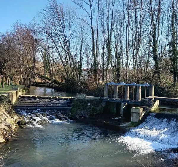
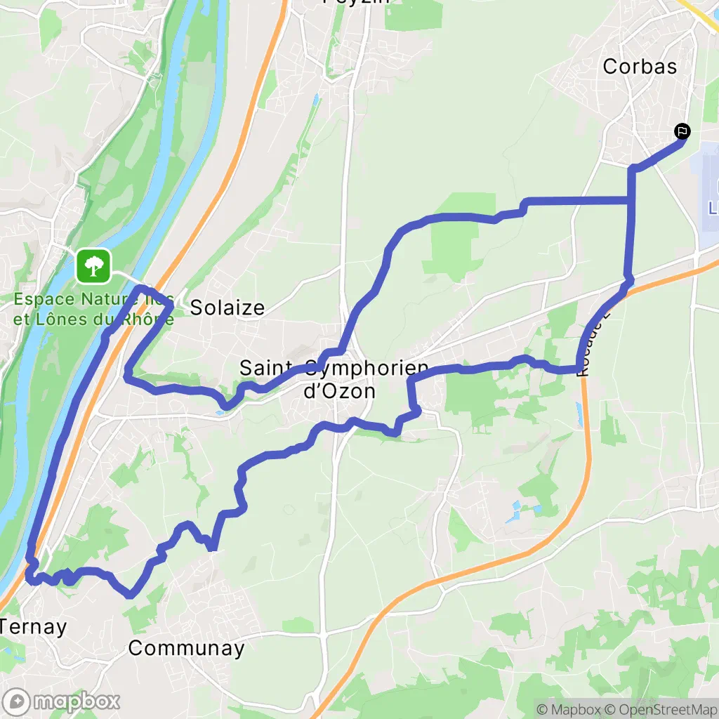
Departing from Corbas, head towards the Bois de Ternay. Go past the Saint-Symphorien-d'Ozon swimming pool and return via the Rhône Canal to Solaize. Pass close to the Ozon River several times.
To better prepare yourself
Our current selection
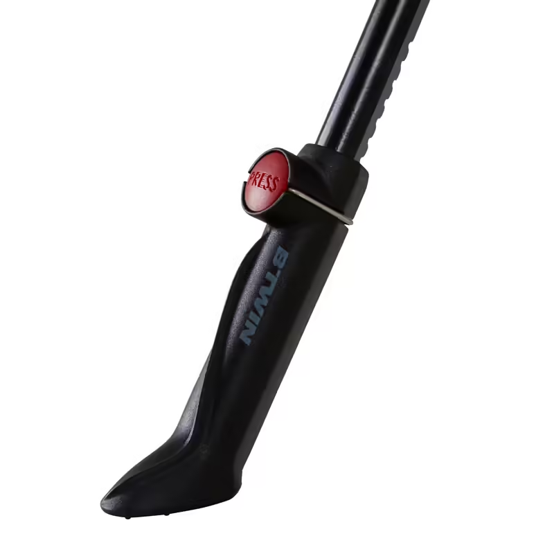 Chainstay Stand 500
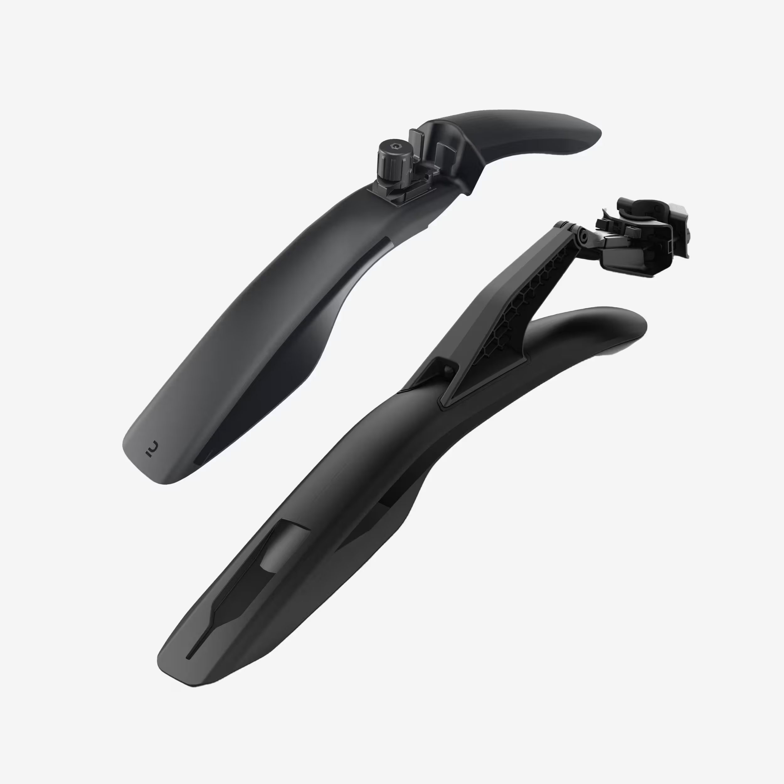 26" - 27.5" - 29" Front/Rear Rigid Mountain Bike Mudguard Kit V3 - Black
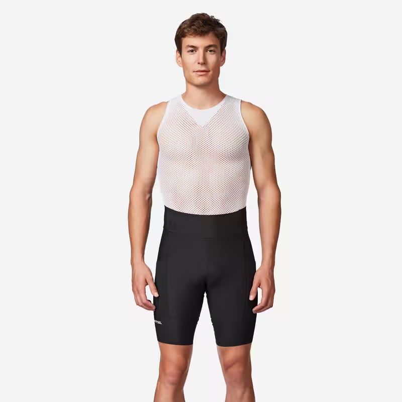 Men's Bibless Road Cycling Shorts, Endurance, EDR-Black
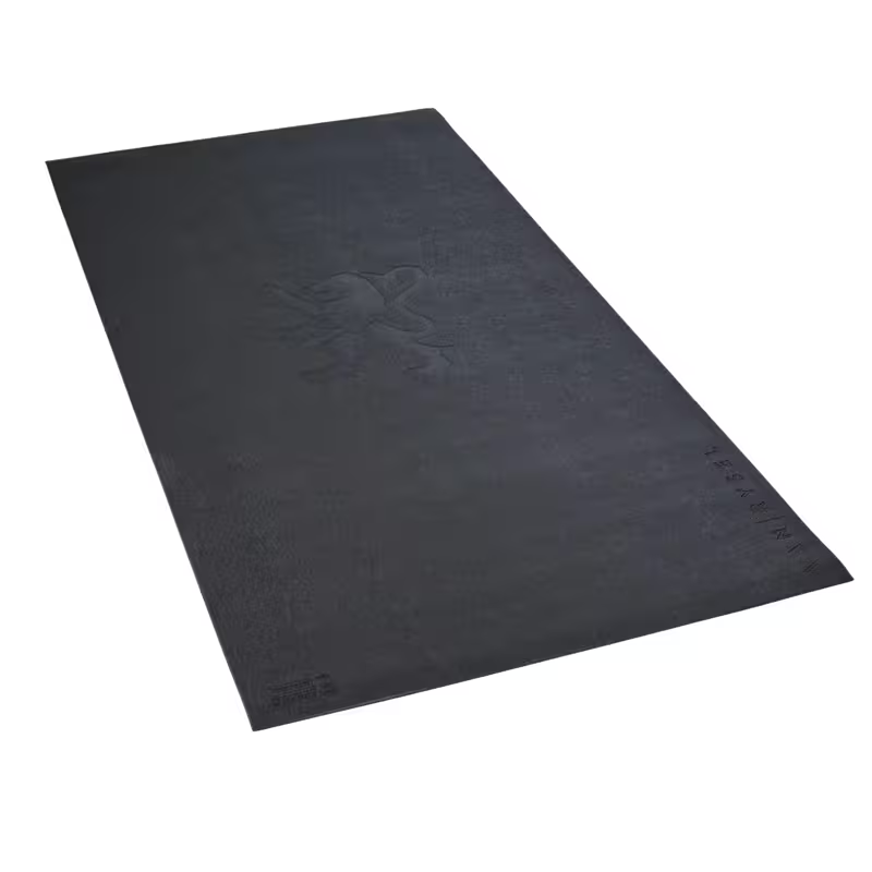 Turbo Trainer Mat Flanders
 Assortment of energy fruit jellies, x12
 GO ISOTONIC ENERGY GELS - 7 x 60ml
Outdoor activity details
Bicycles for rent
 Electric
Endeavour 1.B
Starting from€45 Electric
Moterra Carbon 2
Starting from€60 Electric
Orbea Wild H10 (170cm-180cm)
Starting from€60 Electric
Orbea Rise LT H10 M
Starting from€60 Electric
Moustache Game 150.7 - 600wh - M
Starting from€60 Electric
Roam E+ STA 400W S (155cm-175cm)
Starting from€35 Electric
Adventure Neo 2
Starting from€45 Electric
Samedi 27 Xroad 4 Open M
Starting from€45
Start activity from Corbas
10 Avenue Nicolas Pitiot
Belle balade montée et descente
Quelques passages compliqués où il est nécessaire de mettre le pied à terre pour passer. La descente dans le parc de Ternay est sympathique à faire à pleine vitesse.
Chemins roulants, un peu de route, pas de passage technique
Circuit agréable, sentiers en sous bois, parcours facile 2h suffisent amplement!
Other outdoor activities nearby
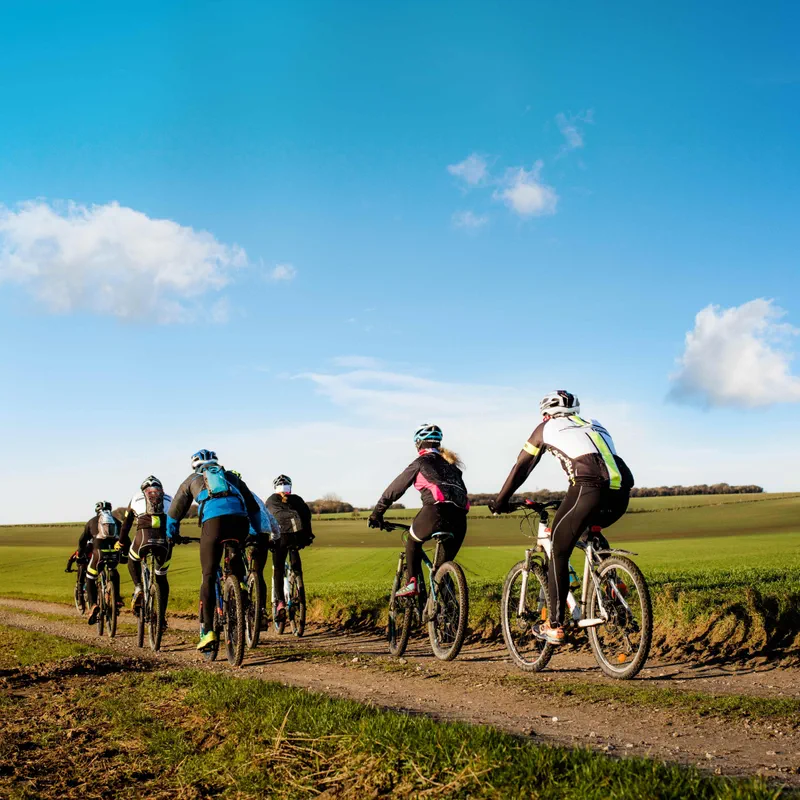
Corbas and a short bike ride in the Lyon countryside
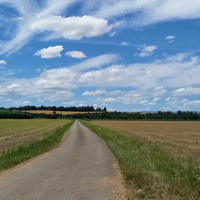
Large lands around Corbas
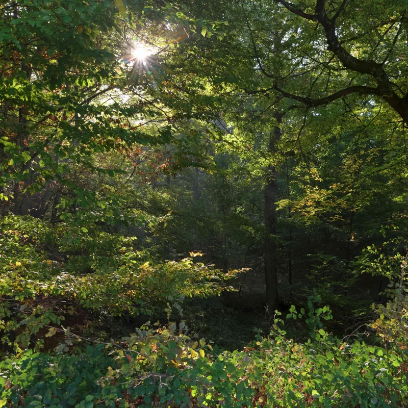
The woods of Saint Pierre
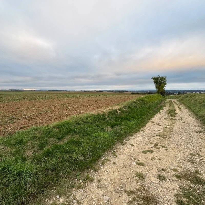
Mountain biking outing around the A46
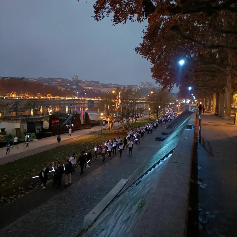
Mountain biking - Lyon Free Mountain Biking 01
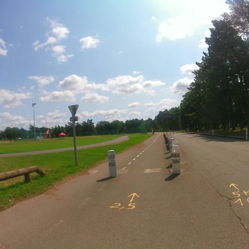
Parilly Park, starting from the Laurent Gérin Stadium
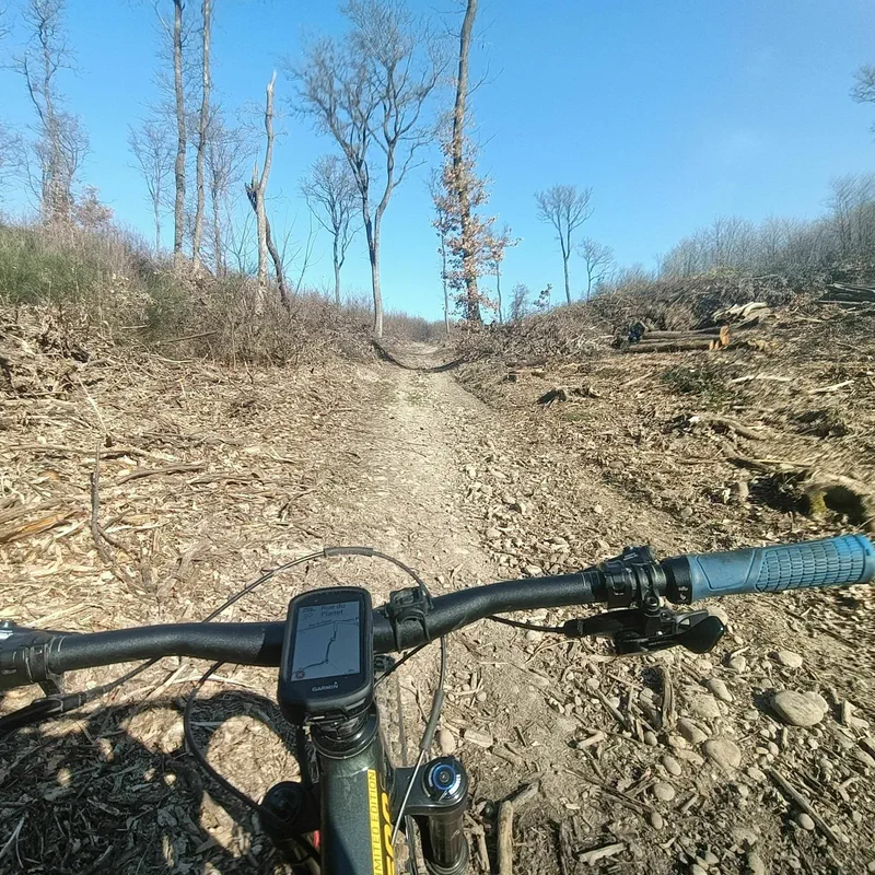
Mountain biking - On the ridges of South Lyon
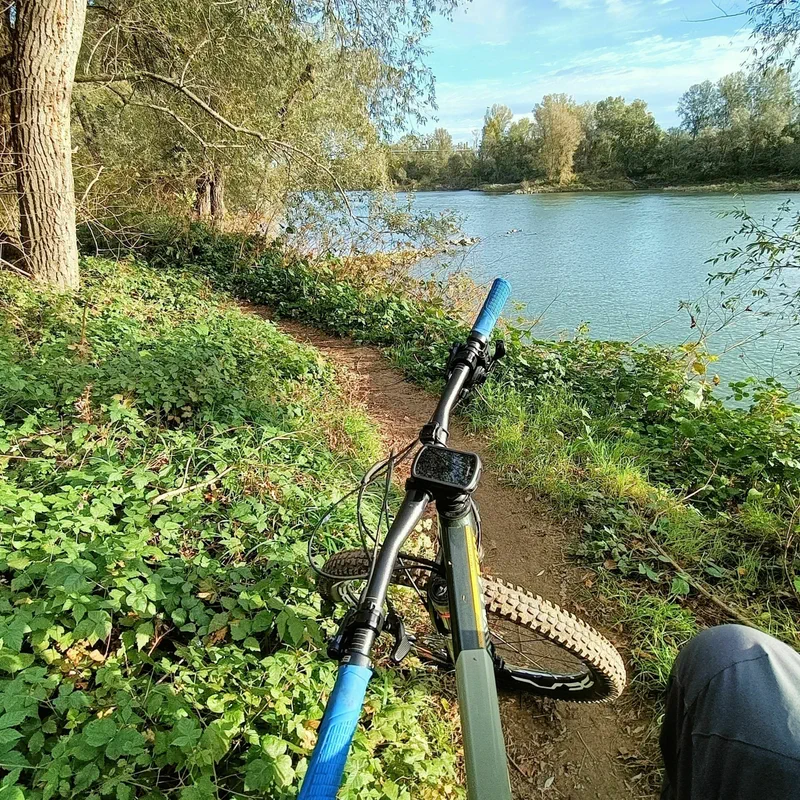
Mountain biking - Chemistry Valley
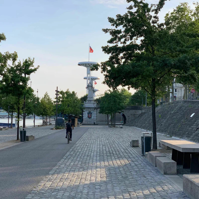
GRAVEL - From the South to the North of Lyon
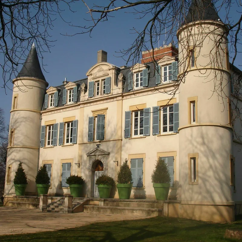
Vénissieux-Feyzin loop (fort, Begude castle)
- See all outdoor activities
Must-see locations

Lyon (and surroundings)
Looking to go for a walk or a hike around Lyon? Look no further, we have a whole bunch of routes to recommend just a stone's throw from the capital of the Gauls. From forest walks to the peaks of the Monts d'Or, through the Monts du Lyonnais or even pretty waterfalls: the outskirts of Lyon are full of trails for the whole family, on foot or by bike. And with our 100% free hiking app, it couldn't be easier!
Read article
Glandieu Waterfall
Want to stroll in the coolness of an impressive waterfall? We have just what you need! The hike to Glandieu Waterfall, in the Ain (01) department, will satisfy both casual and serious walkers, thanks to its various routes. Great places to eat, swimming spots, and hiking trails—we tell you everything about hiking to Glandieu Waterfall. Set off without a map, but with our free app, and share your photos and reviews!
Read article
Plateau de la Danse
How about a hike to the Plateau de la Danse? We are heading towards Saint-Étienne for a getaway in the heart of the Loire Gorges Regional Natural Park, where a wonderful program awaits you. Starting from Saint-Victor-sur-Loire, discover a fairly accessible hike surrounded by sensational landscapes, including the marvelous panoramic view of the Plateau de la Danse over the meanders of the Loire. A true postcard! Let's go, we'll explain how to access the Plateau de la Danse on a hike.
Read article
Clairefontaine Waterfall
If you love walking, the coolness of water, and the shade of trees (and poetry!), you won't be disappointed by the hike to the Clairefontaine waterfall, in the Ain department. In the heart of the forest overlooking the town of Virieu-le-Grand (01510), marvel at this waterfall split into several cascades (one could even call them THE Clairefontaine waterfalls), tumbling over the rocks and nestled in lush vegetation. Access, swimming, and routes: form your own opinion by heading out on a hike to the Clairefontaine waterfall with our free hiking app!
Read article
Barterand Lake
In the heart of the commune of Pollieu, at the foot of the Grand Colombier, in the Ain department, lies a small gem for lovers of fishing, swimming, hiking, and even sculpture: this is Barterand Lake—also known as Saint-Champ Lake by the locals. Between the banks and the forest, on foot or by bike, set off to discover this mysterious body of water and its shores shaped by the legends of Bugey.
Read article
Ain Waterfalls
Looking for a map of waterfalls in the Ain (01)? We have just what you need! Whether for a challenging hike in search of a mystery waterfall or an easy walk with swimming, we have listed here the various waterfalls in the Ain to discover while hiking! From the Dards Waterfall to the Glandieu Waterfall, in the Bugey region and its surroundings, we take you on a “waterfall tourism” tour in the Ain for refreshing hikes!
Read article
Savoie Lakes
The sunny days are coming, and we are looking for the most beautiful lakes in Savoie! A quiet walk by the water, on foot or by bike? A challenging hike to a mountain lake? Or an easy hike around a small turquoise gem? We promise, there is something for everyone! Lake Aiguebelette, Lake Bourget, Lake Roselend, as well as Lake Vaches, Lake Thuile, or even Lake Guichard and Lake Saint-André, we have prepared a list of our favorite lakes in Savoie!
Read article
Lavours Marsh
A haven of serenity in the Ain department, the Lavours Marsh welcomes nature lovers, wildlife observation enthusiasts, and walkers looking for a peaceful stroll. On the agenda for this immersion in the Lavours Marsh National Nature Reserve: a short hike along a boardwalk trail, accessible to everyone, even families, for an outdoor outing that will delight both young and old. Head to Ceyzérieu, near the Lavours Marsh House, to discover this route and its fascinating world. Opening dates, seasons (we recommend autumn for the deer rut), hiking with your dog, address, and even a map of the trail... we tell you everything!
Read article
Grand Colombier
If you like the Bugey region in the Ain department, the hike to Grand Colombier, with its peak at 1,531 meters, should please you. And as you will have understood, there is no shortage of routes. From Culoz or from the Col de la Biche, from Virieu-le-Petit or from Sur-Lyand, via the Col du Grand Colombier or along its ridges, you will always know where to go during your hike to Grand Colombier, thanks to the integrated map in our app.
Read article
Dent du Chat
If you are looking for a hike on the summits of Savoie, embellished with a legendary history, topped with dizzying passages, and enhanced by a panoramic view, then we have just what you need! The hike to the Dent du Chat is a panoramic mountain trail overlooking the famous Lac du Bourget. There is even a story about cheese in all of this! If we have managed to pique your curiosity, then lace up your boots, grab our app, and fly off to this sublime corner of Auvergne-Rhône-Alpes!
Read article
Mont Grêle viewpoint
A rather iconic hike in Savoie! We'll take you to the Mont Grêle viewpoint to enjoy a stunning view of the waters of Lake Aiguebelette below. On the agenda for this day in Auvergne-Rhône-Alpes: some forest climbing, a rather impressive waterfall, and a masterful panorama at the end of this beautiful hike to the Mont Grêle viewpoint.
Read article
Sierroz Gorges
Visiting the Sierroz Gorges means taking a leap into history, rediscovering the industrial era, and walking in the footsteps of the aristocracy. In short, as you will have understood, hiking in the Sierroz Gorges is a must-do in Savoie. Whether it's an easy stroll or a more advanced hike, including opening hours, prices, and access, we tell you everything about the itinerary that will lead you to the heart of the Sierroz Gorges, a natural canyon nearly a kilometer long. And to get there, follow the map directly on our hiking app and leave us your reviews and photos!
Read article
Haute-Savoie Lakes
When we talk about Haute-Savoie, we think of its mountains, its peaks, its glaciers, and… its lakes. Whether in the plains or at high altitude, the lakes of Haute-Savoie punctuate the landscape and offer great opportunities for hiking in the Auvergne-Rhône-Alpes region. Whether it's the unmissable Lake Geneva and Lake Annecy, or mountain lakes like Lake Lessy, the Jovet Lakes, Lake Vert, or the Lac Blanc in Haute-Savoie, we have prepared a selection of lakeside hikes for you to enjoy the most sumptuous panoramas of the “Yaute”.
Read article
Mount Granier
Head to Savoie for a hike up Mount Granier, a local must-see at an altitude of 1,933 meters. Grandiose in its dimensions as well as its tumultuous history, this giant never ceases to be the talk of the town. So, before you leave, check the weather, grab your phone with our app, and head to the summit of an iconic mountain full of twists and turns for an unforgettable hike up Mount Granier!
Read article
Nivolet Cross
From its promontory in the Bauges massif, the Nivolet Cross proudly watches over the entire Chambéry valley. It is impossible to miss if you are passing through the Savoyard capital. And what we particularly appreciate (in addition to the superb viewpoints!) are the hiking trails suitable for both family walks and athletic challenges. Were you looking for the most beautiful hike to the Nivolet Cross? Here are our best routes!
Read article
Mont Revard viewpoint
We are taking you to the land of Tome des Bauges cheese for a hike to ascend Mont Revard and discover its viewpoint. We invite you to explore the Savoie side of the Bauges massif on an accessible hike, featuring breathtaking panoramas of the Aix-les-Bains valley and Lac du Bourget. Stroll to the Revard viewpoint, then walk to the summit of Mont Revard, alternating between forests and alpine pastures: a combination that will dazzle you. So, let's get started with our free hiking app that will guide you through this wonderful corner of Auvergne-Rhône-Alpes! Don't hesitate to leave your review!
Read article
Pertes de la Valserine
Very close to Valserhône, in the Ain department, the Pertes de la Valserine are an astonishing natural site where the river disappears underground, carving out a spectacular mineral landscape over the centuries. While hiking on the Pertes de la Valserine trail, prepare yourself to scramble between gorges, giant potholes, and rocky chaos, in an almost magical atmosphere. An ideal itinerary for nature lovers, hiking enthusiasts, and also photography buffs!
Read article
Lac de la Thuile
Ah, Savoie! Its mountains, its valleys, and... its lakes! There is nothing like it to breathe fresh air, immerse yourself in nature, and enjoy a beautiful adventure! And it is at Lac de la Thuile that you can live this experience, in the heart of the Bauges Massif Regional Natural Park, at an altitude of 874 meters. This small alpine lake in the mid-mountains offers multiple walk options to discover without a map, but with our free app. Lace up your shoes without delay, and escape on a hike to Lac de la Thuile in Savoie, not far from Chambéry.
Read article
Ambel Plateau
This easy hike to the Ambel Plateau, ideal for discovering the flora and fauna of the Vercors, has plenty to surprise and satisfy the most curious among you! Our favorite season for this getaway? Autumn, to listen to the deer rut in the woods.
Read article
Pissieu Waterfall
Imminent departure for the Bauges Regional Nature Park, near Le Châtelard, for a hike to the Pissieu Waterfall. This waterfall was born from a water source that traveled through an entire underground network at the foot of the Margériaz, to pour out like a white veil over the rock of this Savoyard geosite. And getting there is easy: follow our app and leave us your review of the hike to the Pissieu Waterfall!
Read article
Mont Morbié
Summer or winter, come and discover an exceptional viewpoint from the summit of Mont Morbié, in the heart of the Massif des Bauges Regional Nature Park. A sumptuous panorama, but one that must be earned! Put on your walking shoes, grab your camera, and set off for a beautiful hike on the slopes of Mont Morbié in Savoie (73).
Read article
Druise Waterfall
Hidden at the bottom of the Omblèze Gorges, in the Vercors Massif, the Druise Waterfall has gained a certain fame in the Drôme region. This tall, slender waterfall now attracts many hikers looking for a beautiful spectacle and a bit of fresh mountain air. We explain how to access the Druise Waterfall by hiking, but most importantly, how to enjoy it without damaging this exceptional site.
Read article
Bauges Massif
Do you want to go for a hike in the Bauges? You've come to the right place! This pre-Alpine massif with 14 peaks exceeding 2,000 meters is at the crossroads of Savoie and Haute-Savoie. Bordered by the towns of Chambéry, Aix-les-Bains, and Annecy, the Bauges Massif is a natural paradise accessible in the Auvergne-Rhône-Alpes region. Chamois, mouflons, and black grouse: the Bauges Regional Natural Park is home to remarkable flora and fauna. From a short stroll to a challenging hike, you will definitely find what you are looking for on the 500 kilometers of trails in the Bauges Massif!
Read article
Crêt de Chalam
Do you know the peaks of the Jura massif? Among them is the Crêt de Chalam, and for hiking, it's well worth the detour! Located on the border between the towns of Champfromier and Chézery-Forens, in the Ain department, this pointed peak can be reached from the town of La Pesse or from Chézery-Forens. Form your own opinion on hiking to Crêt de Chalam, and with our free hiking app, there's no need for a map; we'll guide you to the summit!
Read article