Hike to the Cirque de Gavarnie and its prodigious waterfall
- Length: 7 km loop
- Duration: 3 hours
- Elevation gain: 319 m
- Difficulty: moderate hike
- Starting point: Gavarnie-Gèdre Tourist Office
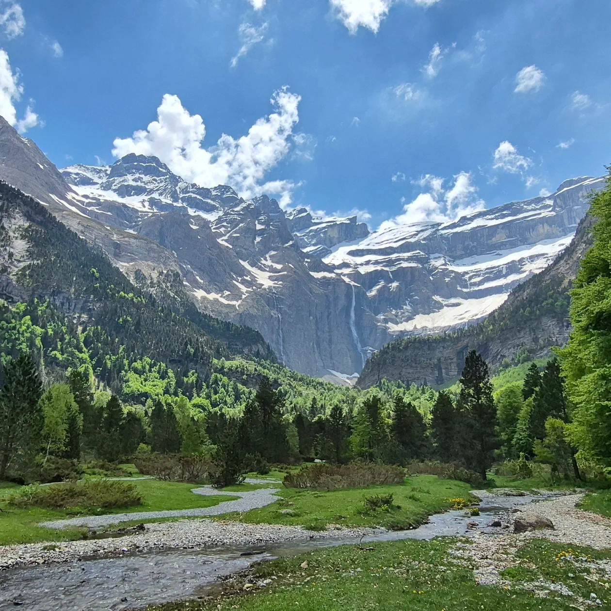
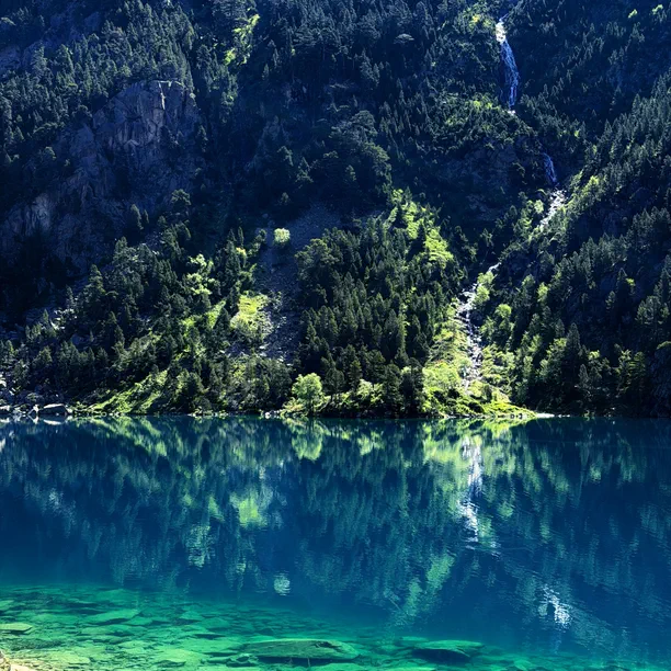
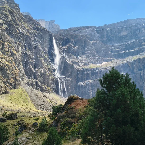
The Cirque de Gavarnie is one of the jewels of the Pyrenees National Park. A UNESCO World Heritage site as part of the "Pyrenees-Mont Perdu" area, this stone giant in Gavarnie-Gèdre, in the Hautes-Pyrénées, is accessible via an easy hiking trail. Its waterfall, the tallest in metropolitan France, can be discovered at the end of a route just a stone's throw from the border with Spain. High-altitude lakes, summer pastures, alpine meadows, and shepherd's huts: come and explore the many hiking routes offered by this corner of Occitanie.
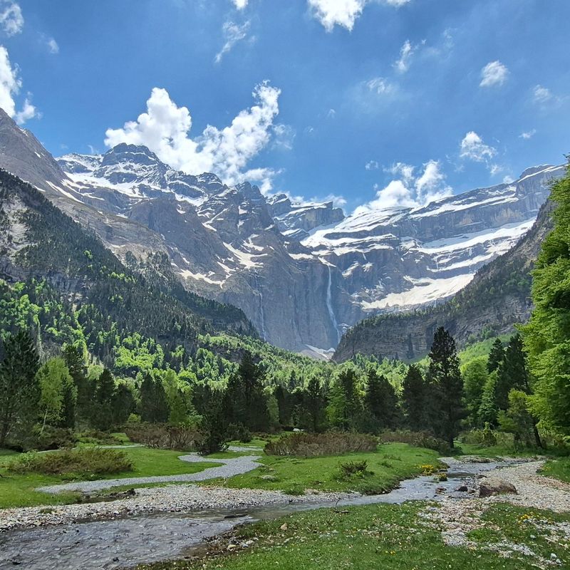
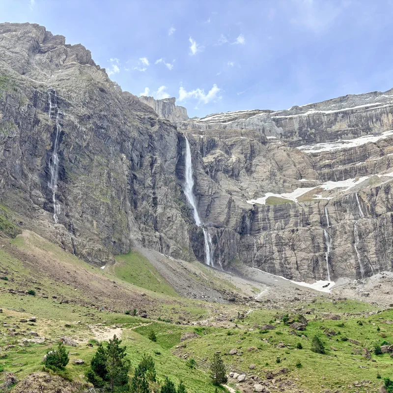
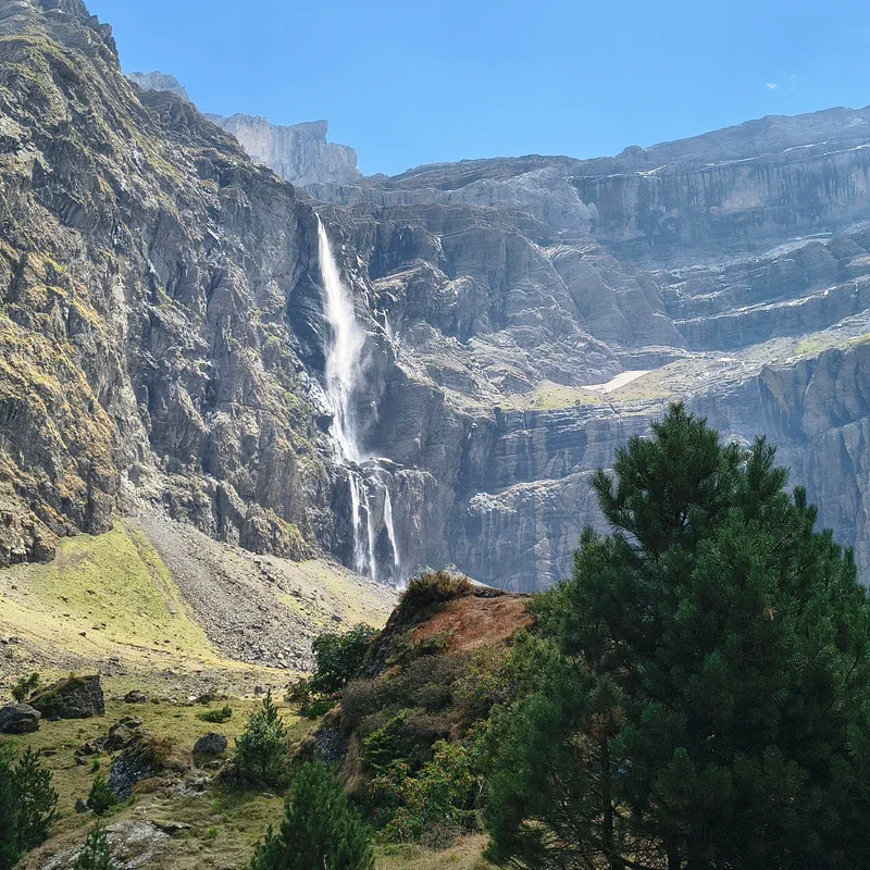
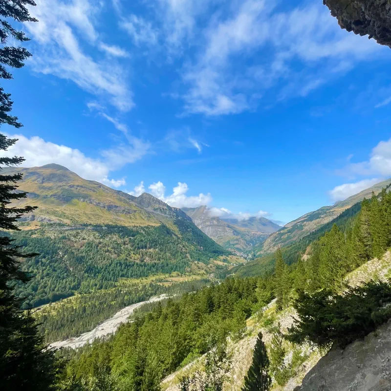
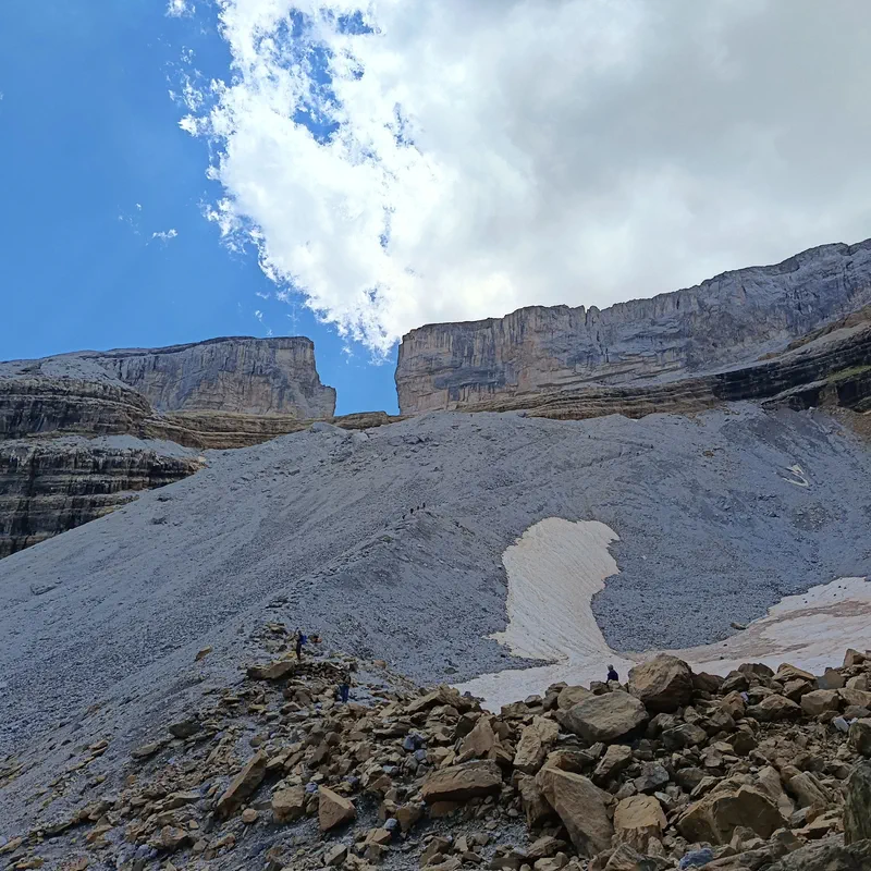
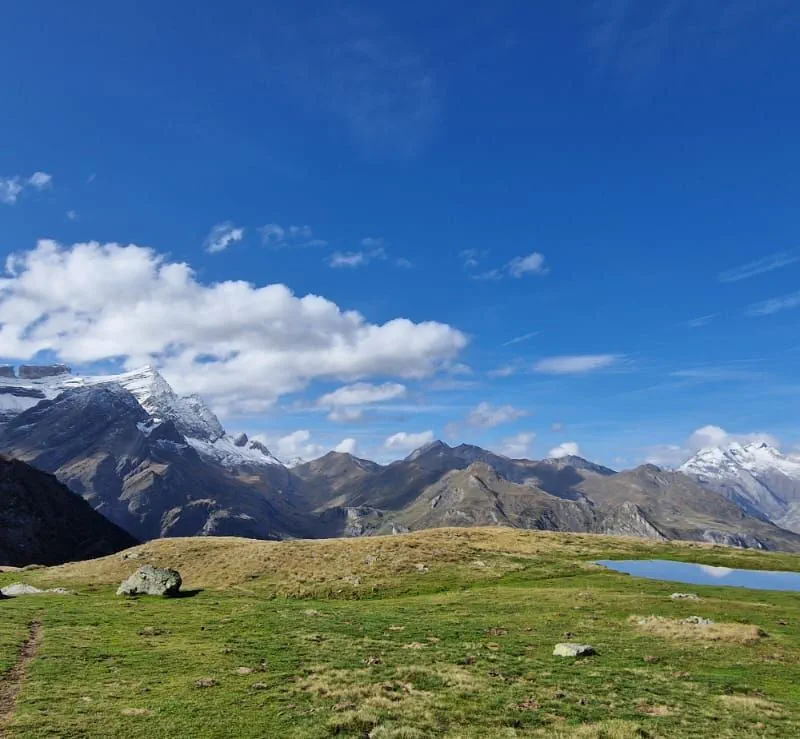
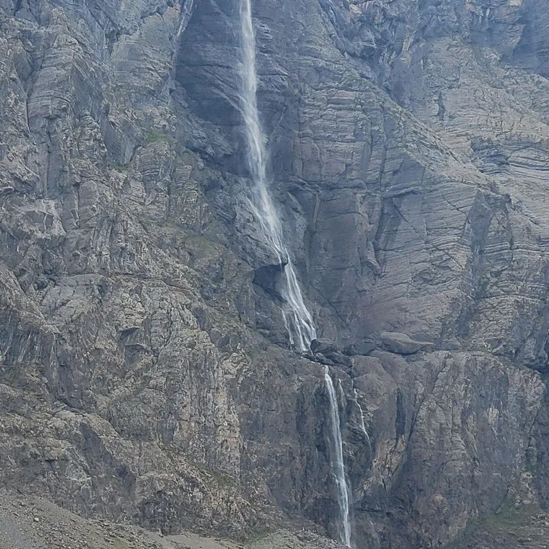
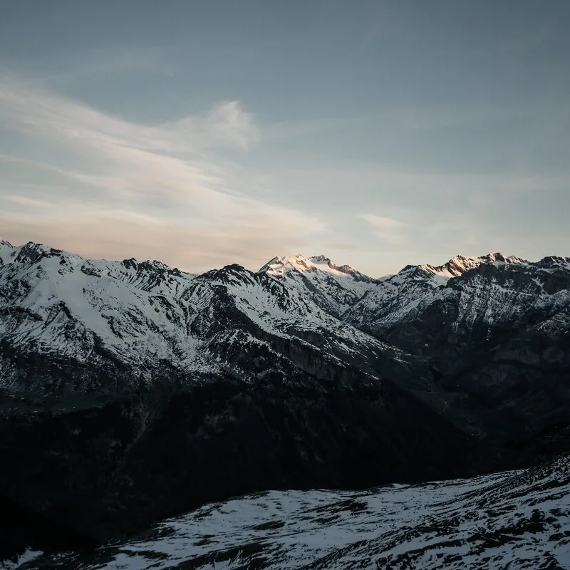
There are places like that. The mere mention of their name brings with it images and sensations, even without ever having been there. The Cirque de Gavarnie, in the Hautes-Pyrénées, is surely one of them.
This glacial cirque, which is the pride of the Occitanie region and more generally of the Pyrenees, attracts many (too many?) visitors every year. The promise is beautiful, after all! A wall of limestone cliffs, a gigantic waterfall, and a fairly accessible walk—there is plenty to be charmed by.
And Victor Hugo would not disagree, reading his poem God: "It is a mountain and a wall all at once; it is the most mysterious edifice of the most mysterious of architects; it is the Colosseum of nature; it is Gavarnie." Shall we go?
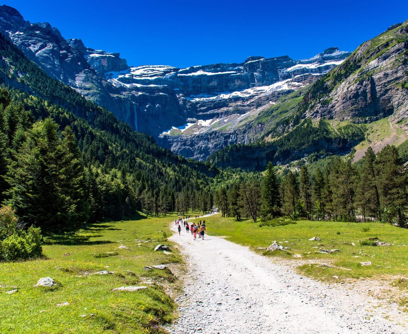
The hike to the Cirque de Gavarnie begins... in Gavarnie, obviously! Regarding parking, access to the center of this small village is reserved for residents. You will therefore need to park in the parking lots adjacent to the tourist office (flat rate of €7 in 2023).
But if you want to avoid the hassle of the car, why not come by bus? Indeed, a bus line connects Gavarnie to the TER train station in Lourdes and even Tarbes. Find the schedules on the regional transport website.
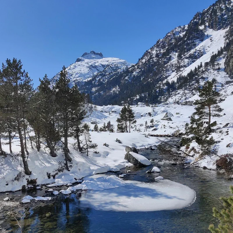
The walking route begins on a very well-marked and maintained path that follows the Gave de Gavarnie. The tumultuous torrent descends from the cirque and flows through the middle of a green valley. The wide path climbs slightly, making this hike accessible to families and children who are not afraid to walk a little.
The cliffs of the cirque are gradually revealed. At the entrance to the core zone of the Pyrenees National Park, an orientation table helps you get a better view.
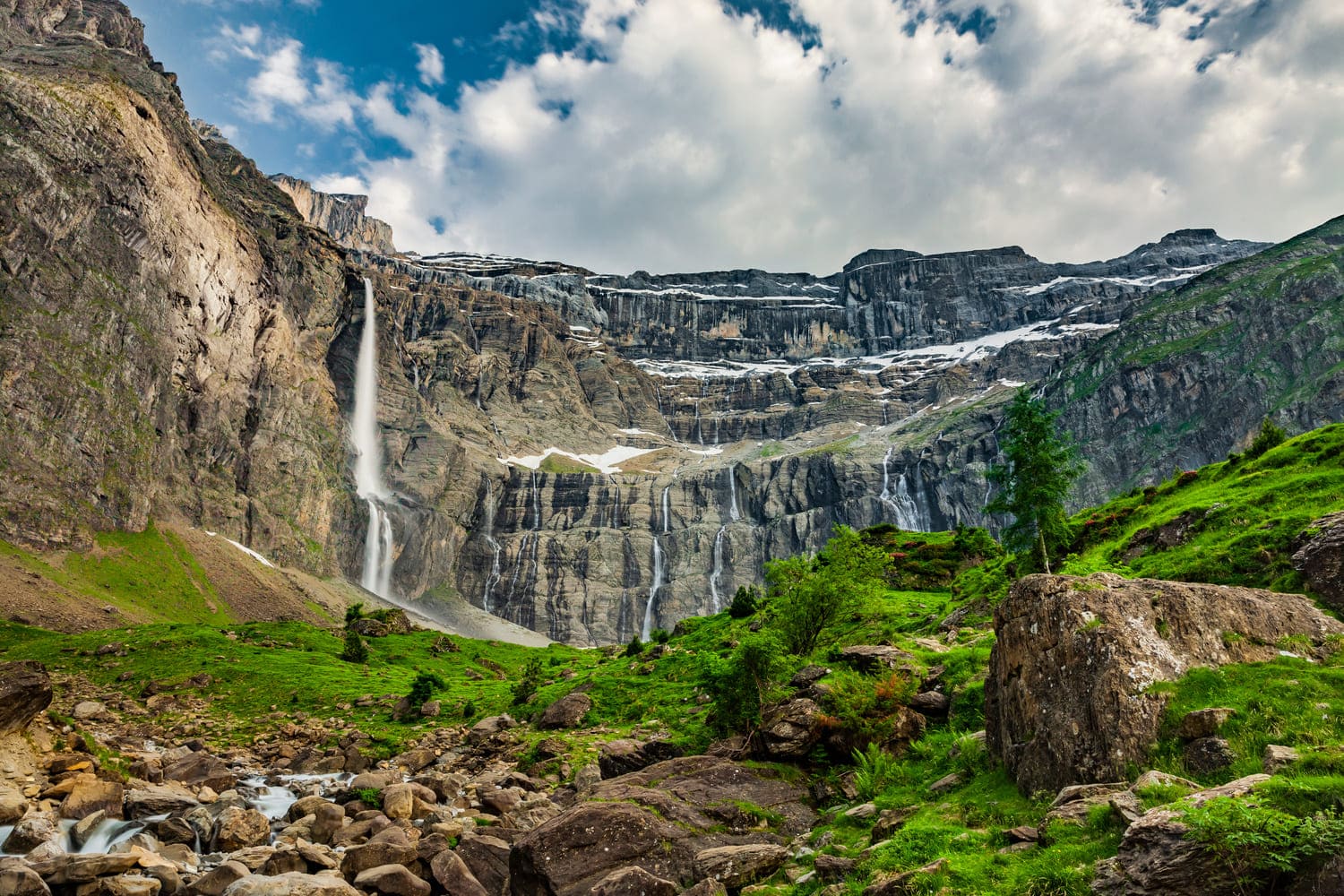
The trail climbs back up, between forest and open plateaus, to the Hôtel du Cirque et de la Cascade. And there, after a 1.5-hour walk, the magic happens: the Cirque de Gavarnie unfolds its gigantism before you.
Casque du Marboré, Pic Brulle, or Petit Astazou: here, summits over 3,000 meters high are legion on the ridge, the border with Spain, where a few glaciers remain.
The Pic du Marboré, the summit of the Cirque de Gavarnie, reaches 3,248 meters. It is easy to understand why the Cirque de Gavarnie was inscribed as a UNESCO World Heritage site in 1997.
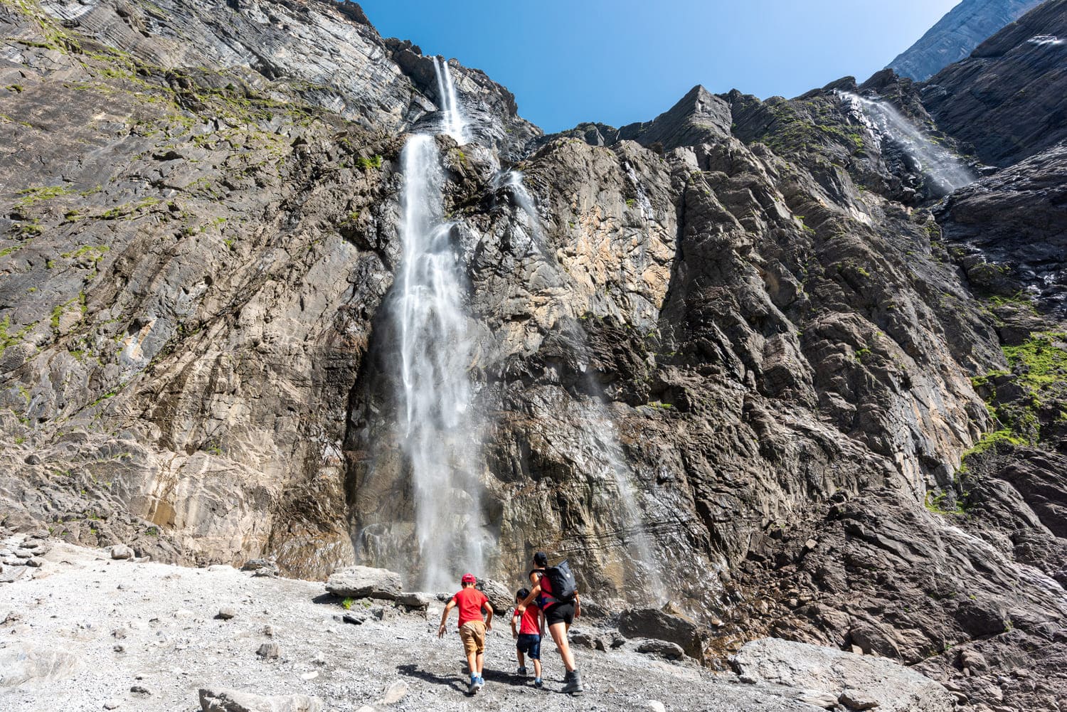
The hike can very well end at the Hôtel du Cirque et de la Cascade, where you can have a snack before heading back down. But if you are not afraid of a little elevation gain, we highly recommend going to the Great Gavarnie Waterfall.
The path is narrower and steeper: hiking boots and poles are recommended for this variant, which adds a good hour and more than 300 meters of elevation gain.
But it is worth the effort. The path ends just below the Great Gavarnie Waterfall: during the ice melt or after heavy rain, its flow is intense. And what about its height: at 422 meters, the Gavarnie waterfall is the tallest in metropolitan France. A spectacle as refreshing as it is breathtaking!
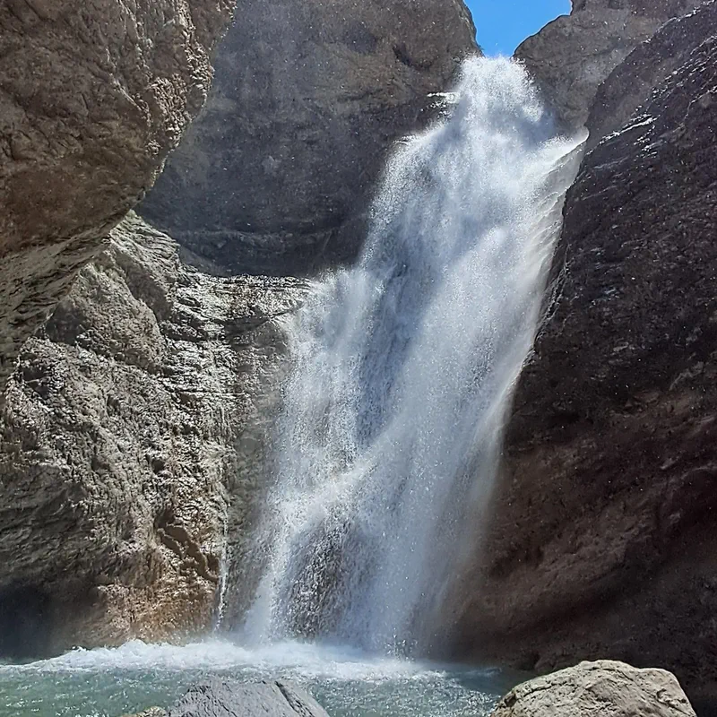
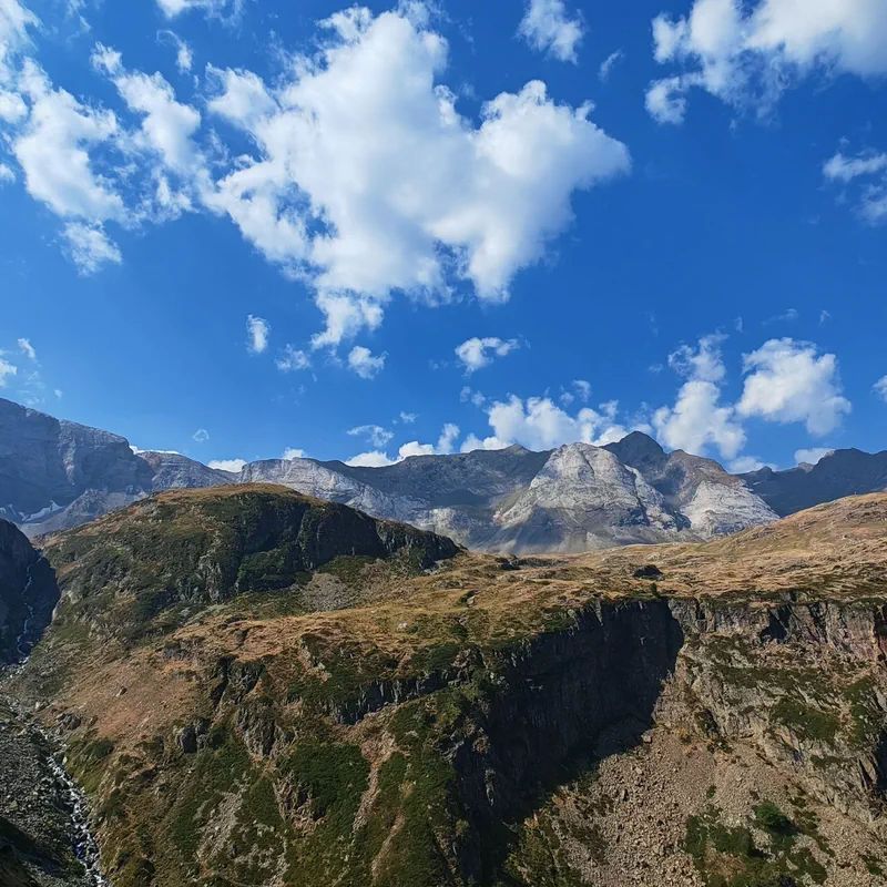
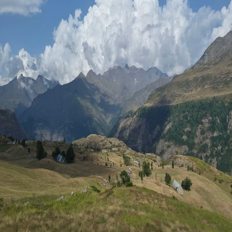
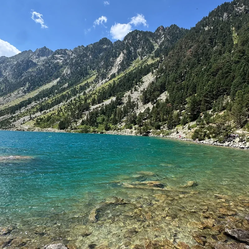
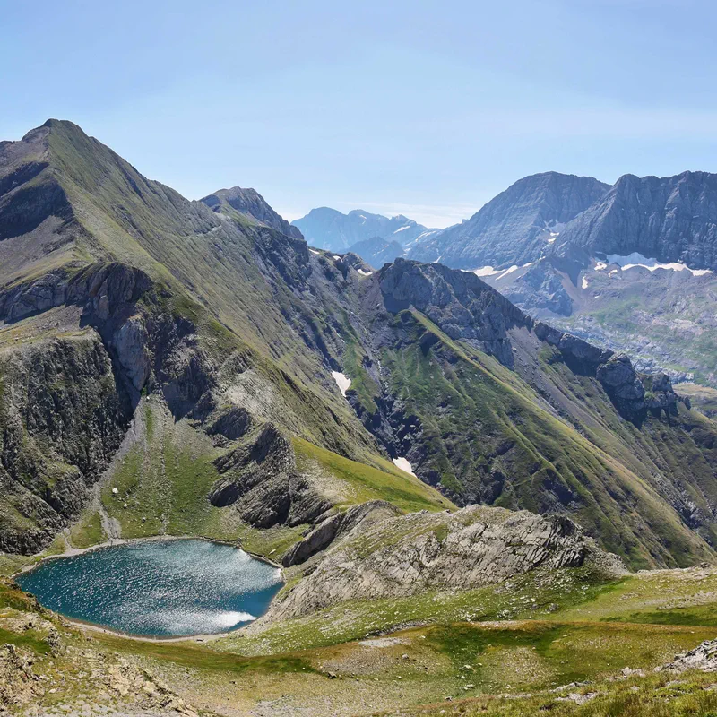
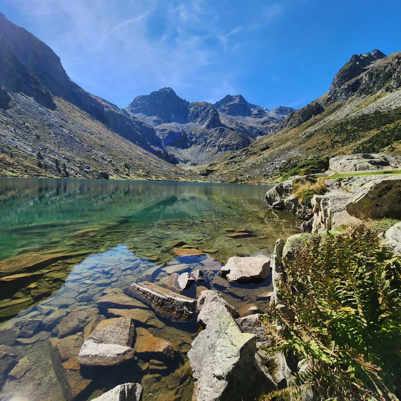
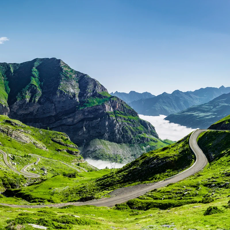
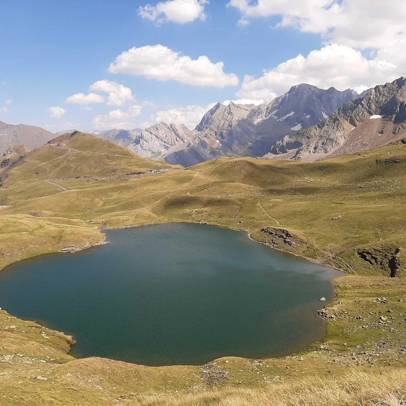
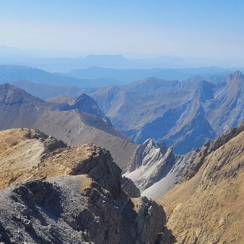
It is a true wonder of nature: 6.5 km in circumference, 1,500 m high, peaks exceeding 3,000 m, and one of the largest waterfalls in Europe. A UNESCO World Heritage site and an iconic heart of the Pyrenees National Park, the Cirque de Gavarnie leaves no one indifferent.
Less well-known but just as impressive, the cirques of Estaubé and Troumouse are accessible to most people. The former is a mecca for pastoralism, with nearly 400 cows and 1,200 sheep grazing there every summer! People come with their families to see the Lac des Gloriettes and observe the marmots. The latter is the largest and most open of the three cirques, with a circumference of nearly 11 km! It is home to herds of cows and sheep. Its peaceful and green atmosphere gives it a special charm.
You can admire the cirque from the village of Gavarnie and reach it in an hour and a half, on foot or on horseback. For the more athletic and those who enjoy bivouacking and mountain huts, you can also decide to take longer hikes alongside it.
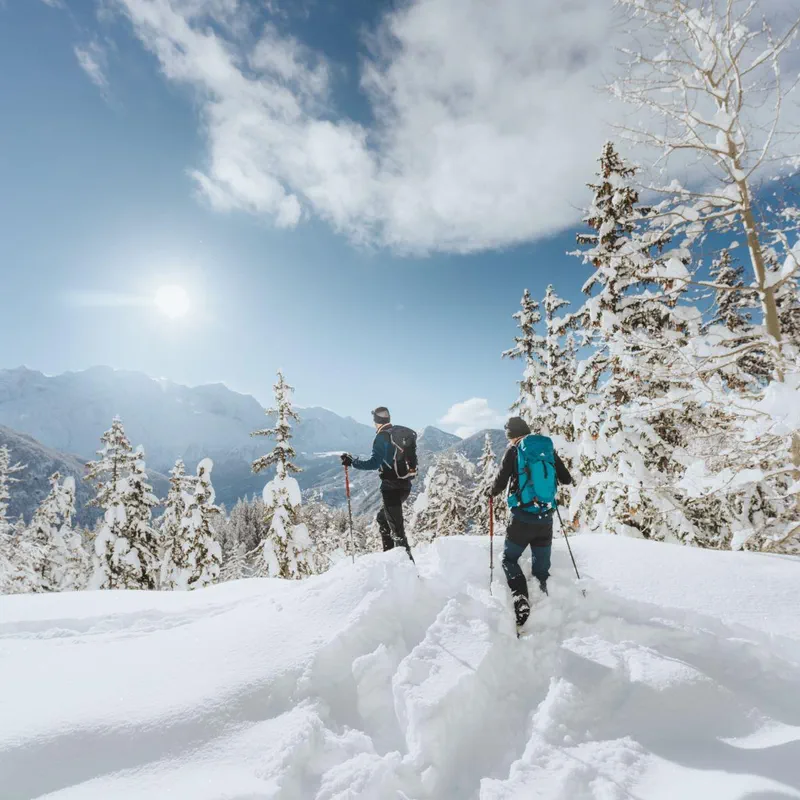
In winter, the water freezes and gives the cirque an incomparable magic. You can put on snowshoes to discover this snow-covered site in a "Great North" atmosphere. If you prefer skiing, you can also hit the slopes at Gavarnie-Gèdre, and beginners can even descend the longest green run in the Pyrenees.
You can taste a rich terroir: Barèges-Gavarnie PDO lamb, Bigorre black pork PDO, Val d'Azun cheese, and grabure (a vegetable and bean soup in which confit and the famous camayou, the local ham bone, have simmered).

Looking for a hike in the Pyrenees? Fans of challenging hikes, come and discover the history and legend of Roland's Breach, around the famous Gavarnie cirque. From the Col des Tentes and via the Sarradets refuge, set off to conquer this unusual natural opening in the cliffs, at an altitude of 2,804 meters, without a map, but with our app. And don't forget to share your opinion on hiking to Roland's Breach!

The Cirque d’Estaubé is a must-do for hiking in the Pyrenees. Less famous than its neighbor, the Cirque de Gavarnie, this limestone mountain wall in the Hautes-Pyrénées is accessible via an easy walking trail and can serve as a starting point for more difficult hiking routes. Follow us, we'll explain everything!

In the family of glacial cirques in the Hautes-Pyrénées to explore on a hike, I choose the Troumouse Cirque! Less well-known than its famous neighbor Gavarnie, Troumouse has everything to offer. Gigantic mountains, lush green alpine meadows, lakes, and small streams: it is a jewel of the Pyrenees National Park and the Occitanie region. Access, altitude, and... a little train: we tell you everything about the Troumouse Cirque, to be discovered with our 100% free hiking app.

In the heart of the Aragonese Pyrenees, in Spain, lies a natural site classified as a UNESCO World Heritage site: the Ordesa y Monte Perdido National Park. With its valleys and its summit at an altitude of over 3,000 meters, the Monte Perdido (or Mount Lost) offers intense and varied hiking opportunities! Between dizzying canyons, airy peaks, and wild waterfalls, follow Decathlon Outdoor and its interactive map of the most beautiful hiking routes in the Ordesa y Monte Perdido National Park… and don't forget to leave us your photos and reviews!

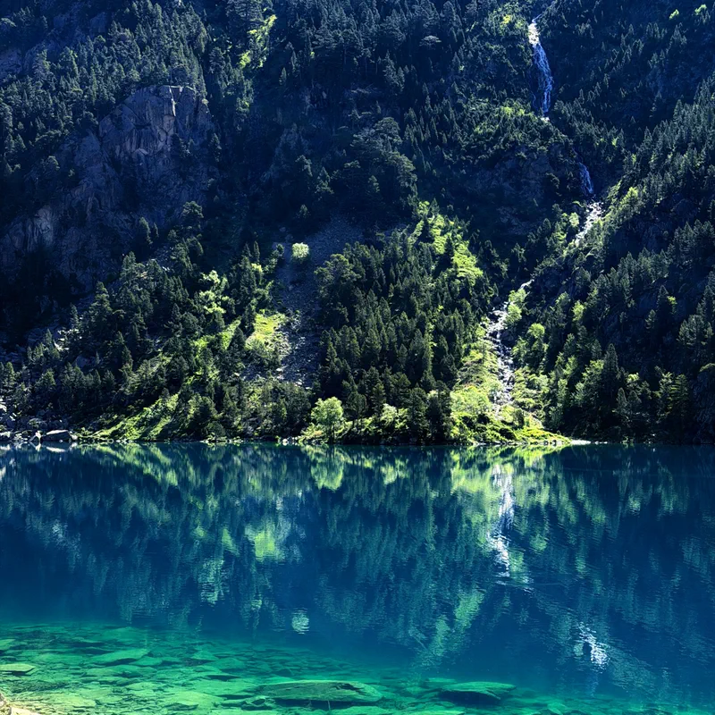
Today's destination? Lac d'Estom! A lake tinted with blue and green, surrounded by beautiful (and high) peaks, which delights hikers who come to admire magical panoramas in the Hautes-Pyrénées. A real sure bet! We promise, the hike to Lac d'Estom will offer you an unforgettable moment in the Lutour valley, in the company of chamois and marmots. Discover our most beautiful itineraries to reach Lac d'Estom and perhaps even spend the night there for a bivouac in the Pyrenees!

Nestled amidst the peaks of the Néouvielle massif, in the Lutour valley, or right in the heart of the Pyrenees National Park, the lakes of the Hautes-Pyrénées offer the Occitanie region true postcard-perfect scenery.

The hike to Lake Gaube from the Pont d’Espagne is one of the most popular routes for hikers around Cauterets. Welcome to the Hautes-Pyrénées, in the Occitanie region, where the highest peaks meet valleys filled with small streams and lakes offering superb panoramas. This is the case for Lake Gaube, accessible by chairlift or by hiking. As you might have guessed, we recommend the second option to explore the trails of the Pyrenees massif and discover the local flora and fauna. Let's go! We will explain everything you need to know to go hiking to Lake Gaube while avoiding the crowds.

It is in the heart of the Néouvielle massif, in the small town of Aragnouet, that you can discover Cap-de-Long lake by hiking. At an altitude of over 2,000 meters, this 110-hectare reservoir lake is the second largest body of water in the French Pyrenees (just behind Lanoux lake). And unsurprisingly, a mountain lake means a rather challenging hike: whether on foot or by bike, get ready to burn your calves with our routes to Cap-de-Long lake!

Want to discover lakes in the Hautes-Pyrénées in the Néouvielle massif, a mountain range in the heart of the Pyrenees? Head to Orédon Lake! This reservoir lake in the commune of Aragnouet is a prime starting point for discovering this corner of Occitanie on foot. Come and explore the trails of this mountainous area where water is king.

Nestled in the middle of the peaks of the Néouvielle massif, Aubert Lake awaits you alongside its neighbor, Aumar Lake. These two Hautes-Pyrénées lakes are prime getaway destinations for fans of hiking, outdoor strolls, and even bivouacking.

The Néouvielle Massif, in the Hautes-Pyrénées, in Occitanie, is a must-discover for hiking. Shaped by glacial erosion, it is famous for its numerous lakes. Located in the heart of the Néouvielle National Nature Reserve, near Saint-Lary-Soulan, these high-altitude lakes are easily accessible on foot. Walks in the Pyrenees can be enjoyed under the gaze of the peaks of the Pic du Néouvielle or the Turon de Néouvielle. This corner of the Pyrenees National Park is waiting for you, whether for a family stroll or a longer circuit, like the Néouvielle tour. And there is no need for a map: with our 100% free hiking app, your walk in the Néouvielle Massif is all mapped out!

Welcome to Oule Lake, a gem of Occitanie nestled in the heights of the Hautes-Pyrénées. A proud representative of the many dam lakes in the Néouvielle massif, this large body of water offers hiking trails for day trips, with a "chairlift access" option for a magnificent view, or routes with stopover(s) in a mountain hut or even for bivouacking. A change of scenery, just a stone's throw from the ski slopes of the Saint-Lary-Soulan resort. And for the more ambitious, we will take you on a long multi-day hike in the heart of the Pyrenees massif, to discover the most beautiful lakes in the area.

Nestled in the heart of the Pyrenean peaks, Ilhéou Lake awaits you with a promise: unforgettable hiking. Whether you are looking for difficult routes or easier ones for families or casual walkers, starting from Le Cambasque, or even accessible by public transport from Cauterets, there is no shortage of options for hiking to Ilhéou Lake.

How about a hike to the Blue Lake of the Pyrenees? Located in the commune of Beaucens near Bagnères-de-Bigorre (Hautes-Pyrénées), this large sapphire jewel, also called Lac Bleu de Lesponne, is the deepest lake in the Pyrenees. And we suggest you reach it by hiking from the Chiroulet parking lot!

How about a hike to Oncet Lake? Nestled at the foot of the Pic du Midi de Bigorre (2,877 m) in the Pyrenees, this pretty turquoise mountain lake is a crossing point for many hikes. From the Col du Tourmalet or a little lower down in the Barèges Valley, we offer three routes to reach this little alpine gem. Motivated? Then download our app, choose your outing, and above all, give us your feedback on your hike to Oncet Lake!

If you are fond of high mountain peaks and lakes nestled at altitude, then you will certainly enjoy hiking to Isaby Lake in the Hautes-Pyrénées. This glacial lake in the Pyrenees mountain range, located in the commune of Beaucens, has many assets: a 360-degree panoramic view, a refreshing atmosphere throughout the itinerary, and exceptional fauna and flora. Don't wait any longer to form your own opinion on this lake in Occitanie by using our app for an amazing hike!

A hike to Lac d'Ourrec, no matter which path you take, is a guarantee of returning with stars in your eyes. Sometimes surrounded by a lush green forest, sometimes bordered by heather, the trails leading to this lake in the Hautes-Pyrénées offer spectacular views of the surrounding terrain. An unforgettable getaway in the Pyrenees!

We warned you, there is no shortage of hiking ideas in the Pyrenees! This is further proven by this itinerary to Estaing Lake, in the Hautes-Pyrenees. This glacial lake at an altitude of 1,161 meters, in the heart of the Estaing Valley, offers an ideal setting for hikes ranging from easy to difficult, where trails flirt with the Pyrenean peaks, lake shores, and lush green plateaus. Grab your hiking boots and come form your own opinion on this lake in Occitanie, and for that, no need for a map, our app is enough!

40 hectares, 85 meters deep, 1,900 meters in altitude… Artouste Lake is a giant of the Ossau Valley! Nestled between the peaks, this glacial gem can be explored by hiking, amidst alpine pastures and Pyrenean mountain passes. But you can also reach it via the Artouste little train (the highest in Europe!) to enjoy the sunny shores of the lake without working up a sweat. In short, as you will have gathered, at Artouste Lake, hiking is a bit à la carte, especially with our free app!

Lake Payolle, in the Hautes-Pyrénées, awaits you for a breath of fresh air in the heart of Occitanie. Discover this lake, often called “little Canada,” in the commune of Campan (65710). While it is full of activities like pedal boating or kayaking, Lake Payolle is also a superb hiking spot in the Pyrenees, surrounded by pine trees. Whether in summer or winter with snowshoes, this body of water nestled at the foot of the Col d'Aspin is a must-see for an easy family walk. And with our 100% free hiking app, it couldn't be easier!

Elegant, majestic, and instantly recognizable with its canine-tooth shape, the Pic du Midi d’Ossau is one of the most iconic peaks in the Pyrenees. Reaching an altitude of 2,884 meters, it attracts both hikers and mountaineers who dream of climbing it or hiking around it. Located in the Pyrénées-Atlantiques department, in the very heart of the Pyrenees National Park, this rock giant is steeped in history and offers splendid views over the Ossau Valley. We tell you everything about hiking the Pic du Midi d’Ossau, and with our free hiking app, there is no need for a map!

Welcome to Cauterets! Here, lakes, waterfalls, dizzying peaks, and breathtaking panoramas await you in this incredible natural space in the Hautes-Pyrénées. Just that! Hiking in Cauterets is definitely among the most stunning in the Pyrenees massif. Summer or winter, everyone will find their trail, from an easy walk to a challenging hike, to set off and meet marmots and chamois on the trails of the national park.

If you are looking for a hike in the Pyrenees accessible to everyone, from beginners to advanced, then you are in the right place! Hiking to Lac d’Oô offers routes of varying difficulty, but all share the same freshness, views, and altitude. On your next outing, let yourself be guided without a map but with our app to Lac d’Oô and its waterfall, in Haute-Garonne, in the heart of the Pyrenean mountains.

Gain some altitude during a hike to the Ayous lakes in the Ossau Valley. This legendary hike leads you to discover the six Ayous lakes, with the option to sleep at the Ayous Lake refuge or go bivouacking to extend the experience. Sumptuous landscapes, dense flora and fauna, and varied itineraries await you in this natural site of the Haut-Béarn, less than an hour from Pau. The best part? No need for a map to do the tour of the Ayous lakes: whether you are looking for an easy hike or a more athletic challenge, Decathlon Outdoor guides you on all the trails with its free app!